
1942 Map of Gorham
USGS Topo · Published 1942About this map
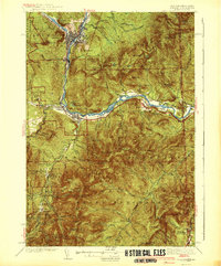
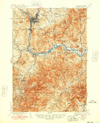
The industrial hub of Berlin anchors the upper reaches of this 1942 New Hampshire and Maine border survey, where the Androscoggin River carves a deep valley between the Mahoosuc and White Mountain ranges. The map reveals a landscape defined by both timber extraction and early alpine recreation. Transportation networks are heavy, with the Grand Trunk and Boston and Maine railroads following the river's path, while a network of early backcountry routes like the Mahoosuc Trail and the Appalachian Trail strike into the high peaks of Bean's Purchase. Cultural landmarks such as the Glen House and the Toll House at the base of the mountain road appear alongside several hikers' shelters including the A M C Hut and Imp Shelter. Notable industrial traces include the Mascot Mine and the Berlin Res, illustrating the era's reliance on the local watershed for both power and municipal needs.
Find a feature on this map
149 named features on this map. Tap any name to fly to it.
Don’t see what you’re looking for? This feature index may not catch every label — zoom into the map to look around manually.
Map Details
Editions of this 1942 Gorham Map
3 editions found
Other maps of this area

1893 · Mt. Washington
USGS Topo · 1:62,500

1893 · Gorham
USGS Topo · 1:62,500

1894 · North Conway
USGS Topo · 1:62,500

1895 · Crawford Notch
USGS Topo · 1:62,500

1896 · Mt. Washington
USGS Topo · 1:62,500

1896 · Crawford Notch
USGS Topo · 1:62,500

1896 · North Conway
USGS Topo · 1:62,500

1896 · Gorham
USGS Topo · 1:62,500

1909 · Fryeburg
USGS Topo · 1:62,500

1911 · Fryeburg
USGS Topo · 1:62,500