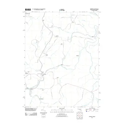
2011 Map of Gorman
USGS Topo · Published 2011About this map
The North Branch Potomac River serves as the dividing line between Maryland and West Virginia in this 2011 survey, winding past the border towns of Gorman and Gormania. The local landscape is defined by its deep genealogical roots, visible in the high density of family-named burial grounds such as the Chisholm-Nydegger Cemetery, Harvey-Wilson Cemetery, and Lish Cemetery.
Find a feature on this map
71 named features on this map. Tap any name to fly to it.
Don’t see what you’re looking for? This feature index may not catch every label — zoom into the map to look around manually.
Map Details
Editions of this 2011 Gorman Map
This is the sole edition of this map. No revisions or reprints were ever made.
Other maps of this area

1895 · Piedmont
USGS Topo · 1:125,000

1899 · Oakland
USGS Topo · 1:62,500

1900 · Oakland
USGS Topo · 1:62,500

1916 · Davis
USGS Topo · 1:48,000

1918 · Davis
USGS Topo · 1:62,500

1919 · Elk Garden
USGS Topo · 1:48,000

1919 · Davis
USGS Topo · 1:62,500

1920 · Elk Garden
USGS Topo · 1:48,000

1920 · Davis
USGS Topo · 1:48,000

1921 · Greenland Gap
USGS Topo · 1:62,500