
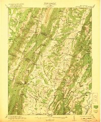
1921 Map of Greenland Gap
USGS Topo · Published 1921About this map
Greenland Gap serves as a dramatic geological focal point where the North Fork Patterson Creek cuts through the ridges of Knobby Mountain. This 1919 survey by engineers like C.H. Birdseye and Frank Sutton captures a landscape defined by its isolated mountain schools and rural church communities. From Locust Grove Church in the northwest to the Oak Grove Church near Kessel, the map reveals a highly decentralized settlement pattern where education was served by numerous small institutions such as Thrashy Run School and One Mountain School.
Find a feature on this map
79 named features on this map. Tap any name to fly to it.
Don’t see what you’re looking for? This feature index may not catch every label — zoom into the map to look around manually.
Map Details
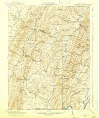
Editions of this 1921 Greenland Gap Map
3 editions found
Other maps of this area

1891 · Romney
USGS Topo · 1:125,000

1892 · Franklin
USGS Topo · 1:125,000

1892 · Woodstock
USGS Topo · 1:125,000

1895 · Piedmont
USGS Topo · 1:125,000

1896 · Franklin
USGS Topo · 1:125,000

1899 · Oakland
USGS Topo · 1:62,500

1900 · Oakland
USGS Topo · 1:62,500

1916 · Davis
USGS Topo · 1:48,000

1918 · Davis
USGS Topo · 1:62,500

1919 · Elk Garden
USGS Topo · 1:48,000