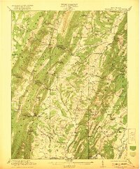
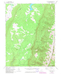
1921 Map of Greenland Gap
USGS Topo · Published 1921About this map
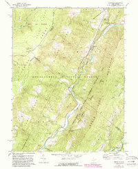
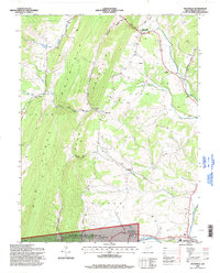
Petersburg anchors the southern edge of this survey, situated where Lunice Creek meets the South Branch Potomac River. The landscape is dominated by the dramatic ridges of the Allegheny Front and New Creek Mountain, which are punctuated by natural passages like the namesake Greenland Gap and Cosner Gap. These gaps served as critical transit points for early settlers moving between the narrow valleys.
Find a feature on this map
83 named features on this map. Tap any name to fly to it.
Don’t see what you’re looking for? This feature index may not catch every label — zoom into the map to look around manually.
Map Details
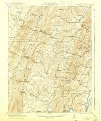
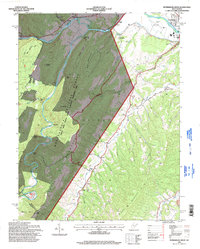
Editions of this 1921 Greenland Gap Map
3 editions found

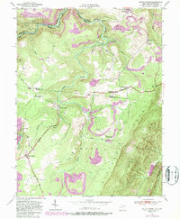
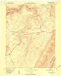
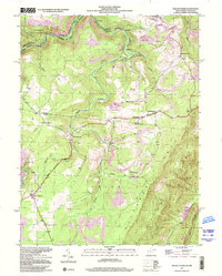
Historical Maps of Petersburg Through Time
24 maps found
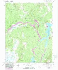
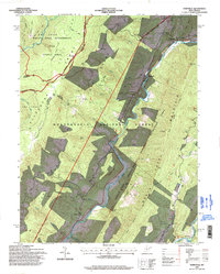
1921 Greenland Gap
Grant County, WV
1949 Mount Storm
Grant County, WV
1951 Mount Storm
Grant County, WV
1967 Blackbird Knob
Grant County, WV
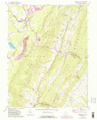
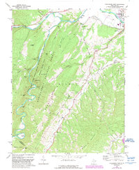
1967 Greenland Gap
Grant County, WV
1967 Maysville
Grant County, WV
1967 Medley
Grant County, WV
1967 Mount Storm Lake
Grant County, WV
1969 Hopeville
Grant County, WV
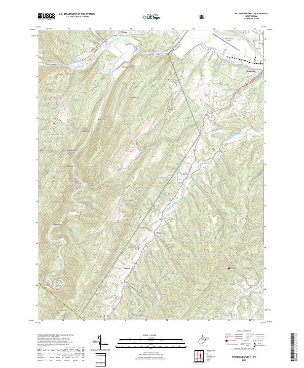
1969 Petersburg West
Grant County, WV
1995 Blackbird Knob
Grant County, WV
1995 Hopeville
Grant County, WV
1995 Maysville
Grant County, WV
1995 Petersburg West
Grant County, WV
1997 Mount Storm
Grant County, WV
1997 Mount Storm Lake
Grant County, WV
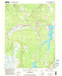
2023 Blackbird Knob
Grant County, WV
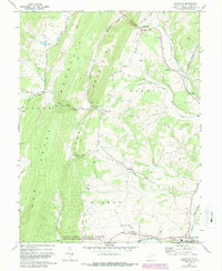
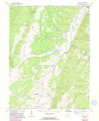
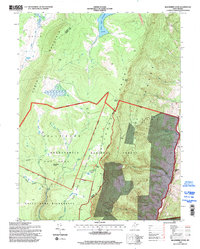
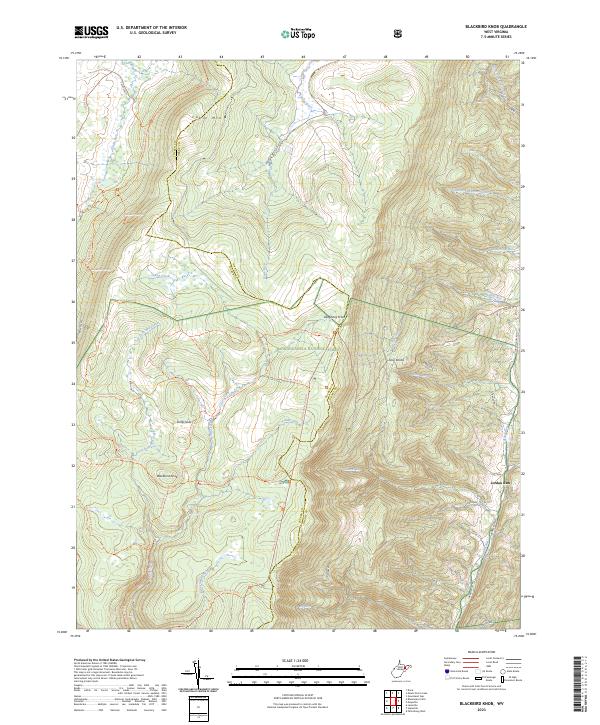
2023 Greenland Gap
Grant County, WV
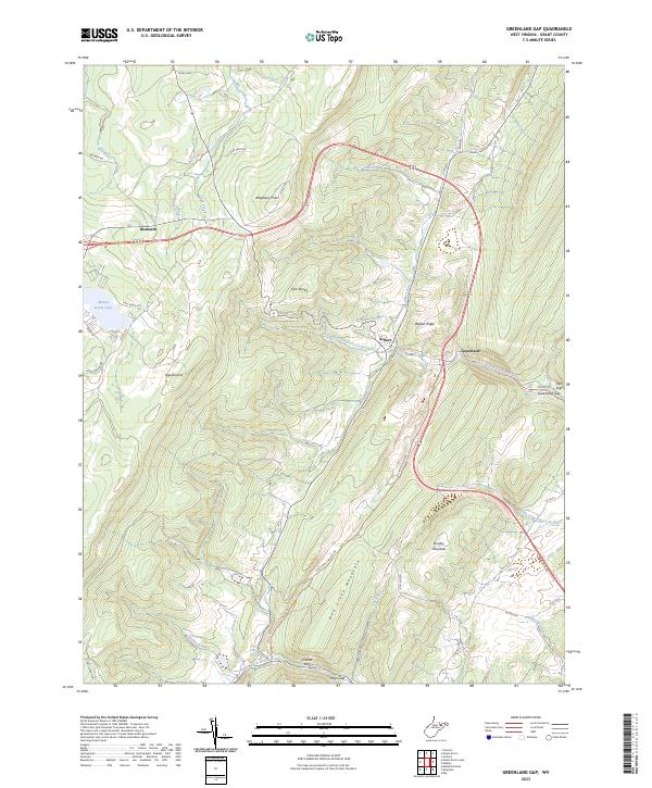
2023 Hopeville
Grant County, WV
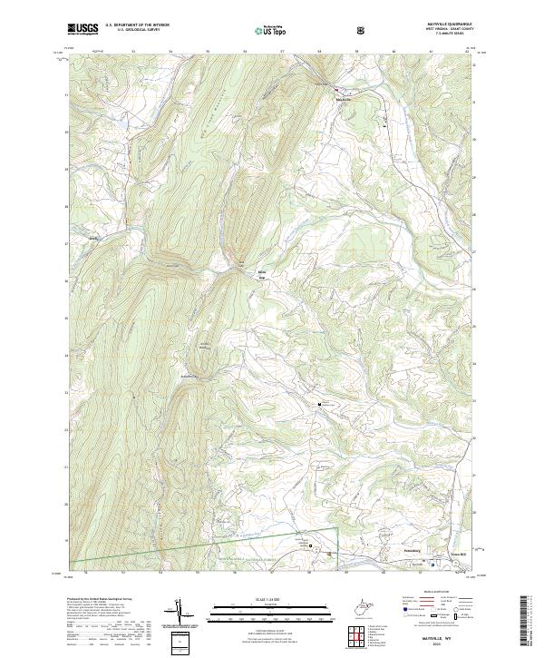
2023 Maysville
Grant County, WV
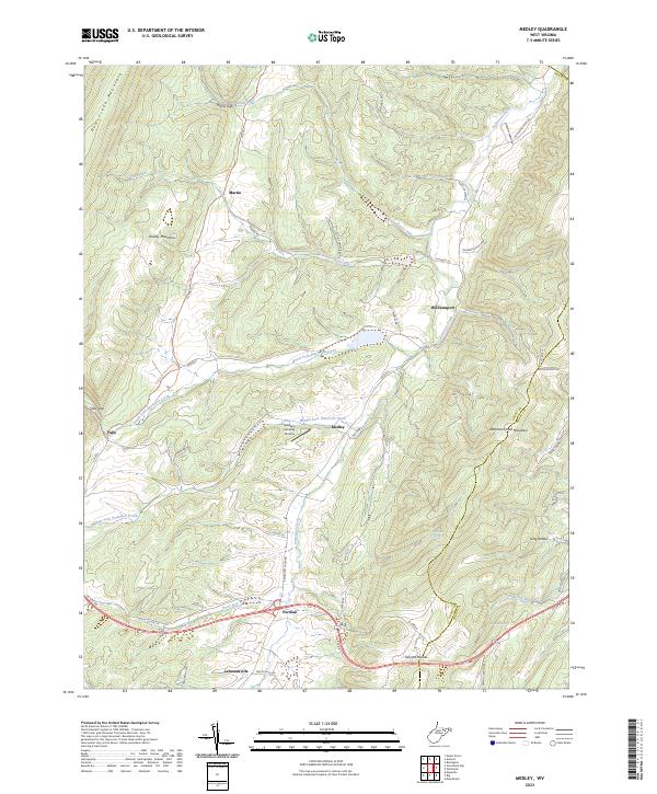
2023 Medley
Grant County, WV
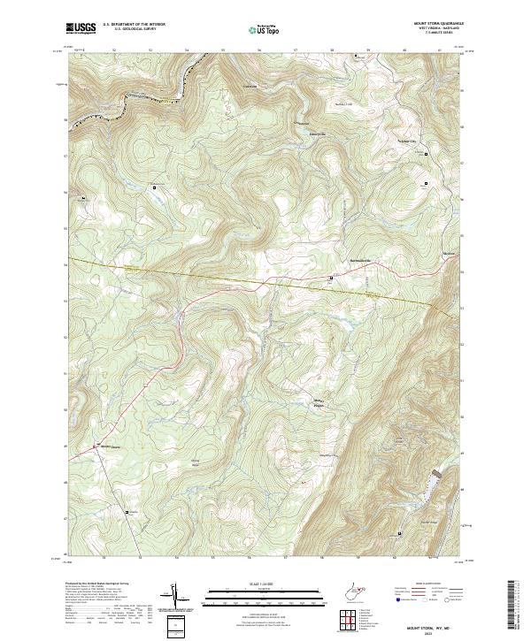
2023 Mount Storm
Grant County, WV
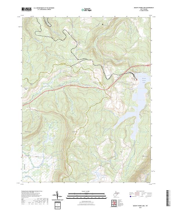
2023 Mount Storm Lake
Grant County, WV
2023 Petersburg West
Grant County, WV