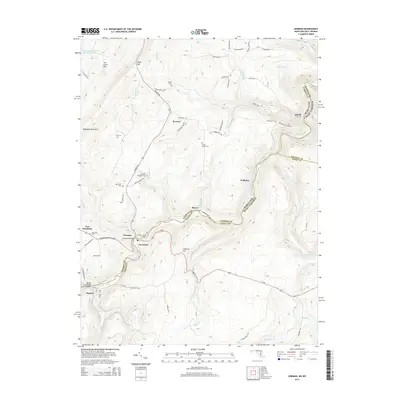
2014 Map of Gorman
USGS Topo · Published 2014About this map
Backbone Mountain and the deep cuts of the North Branch Potomac River define the terrain along the Maryland and West Virginia border. The map documents the high-elevation settlements of Gorman, Gormania, and Bayard, tracing the winding path of the George Washington Hwy as it descends through Kelso Gap. Historically significant sites like Fort Pendleton and several family-named burial grounds, including Lish Cem and Harvey Wilson Cem, are clearly marked across the landscape. The industrial character of the region is evident through the Steyer Mine and the engineering of the Gormania Bridge and Bayard Truss Bridge. This survey provides a precise view of the river-hugging rail and road networks that historically connected the coal and timber country of Garrett County and Grant County.
Find a feature on this map
73 named features on this map. Tap any name to fly to it.
Don’t see what you’re looking for? This feature index may not catch every label — zoom into the map to look around manually.
Map Details
Editions of this 2014 Gorman Map
This is the sole edition of this map. No revisions or reprints were ever made.
Other maps of this area

1895 · Piedmont
USGS Topo · 1:125,000

1899 · Oakland
USGS Topo · 1:62,500

1900 · Oakland
USGS Topo · 1:62,500

1916 · Davis
USGS Topo · 1:48,000

1918 · Davis
USGS Topo · 1:62,500

1919 · Elk Garden
USGS Topo · 1:48,000

1919 · Davis
USGS Topo · 1:62,500

1920 · Elk Garden
USGS Topo · 1:48,000

1920 · Davis
USGS Topo · 1:48,000

1921 · Greenland Gap
USGS Topo · 1:62,500