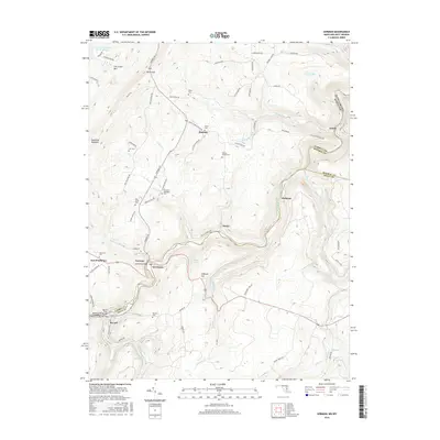
2016 Map of Gorman
USGS Topo · Published 2016About this map
The North Branch Potomac River serves as a winding natural boundary between Maryland and West Virginia, anchoring the twin river settlements of Gorman and Gormania. This 2016 survey highlights a landscape where local history and topography are deeply intertwined, particularly near Fort Pendleton and the site of the Gormania Bridge. The terrain is defined by the significant rise of Backbone Mountain to the west and The Little Mtn to the north, with the river valley providing the primary corridor for settlement and transit.
Find a feature on this map
78 named features on this map. Tap any name to fly to it.
Don’t see what you’re looking for? This feature index may not catch every label — zoom into the map to look around manually.
Map Details
Editions of this 2016 Gorman Map
This is the sole edition of this map. No revisions or reprints were ever made.
Other maps of this area
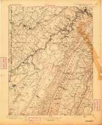
1895 · Piedmont
USGS Topo · 1:125,000
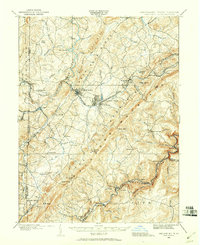
1899 · Oakland
USGS Topo · 1:62,500
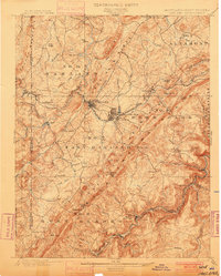
1900 · Oakland
USGS Topo · 1:62,500
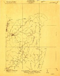
1916 · Davis
USGS Topo · 1:48,000
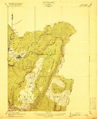
1918 · Davis
USGS Topo · 1:62,500
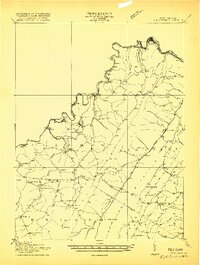
1919 · Elk Garden
USGS Topo · 1:48,000
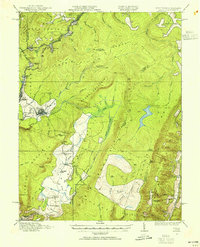
1919 · Davis
USGS Topo · 1:62,500
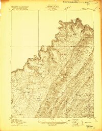
1920 · Elk Garden
USGS Topo · 1:48,000
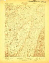
1920 · Davis
USGS Topo · 1:48,000
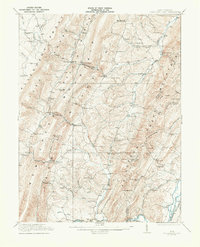
1921 · Greenland Gap
USGS Topo · 1:62,500