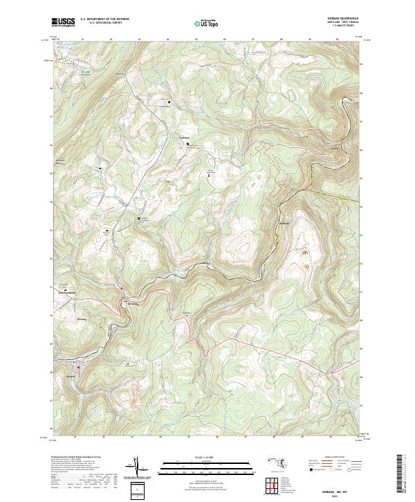
2023 Map of Gorman
USGS Topo · Published 2023About this map
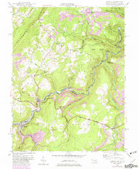
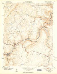
The North Branch Potomac River serves as the winding natural boundary between Maryland and West Virginia on this detailed survey of the Appalachian highlands. Along the river corridor, the historic crossing at Gorman and Gormania highlights a shared regional identity spanning the state line, while industrial legacies are preserved in names like Steyer Mine Rd near the settlement of Kearney. The landscape is defined by the massive ridge of Backbone Mountain and high points like Difficult Hill, which shaped the early development of local roads and rail access.
Find a feature on this map
88 named features on this map. Tap any name to fly to it.
Don’t see what you’re looking for? This feature index may not catch every label — zoom into the map to look around manually.
Map Details
Editions of this 2023 Gorman Map
This is the sole edition of this map. No revisions or reprints were ever made.