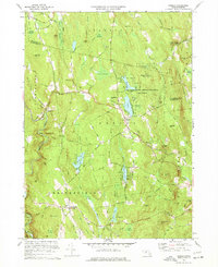
1972 Map of Goshen
USGS Topo · Published 1977About this map
The town of Goshen and the surrounding Hampshire County hills define this survey, which captures the area just as modern conservation efforts were maturing. The landscape is dominated by the Daughters of the American Revolution State Forest, established on land donated to the state in the 1920s. Within this wooded terrain, the Highland Lakes, including Upper Highland and Lower Highland, serve as central features alongside recreational sites like Camp Howe.
Find a feature on this map
105 named features on this map. Tap any name to fly to it.
Don’t see what you’re looking for? This feature index may not catch every label — zoom into the map to look around manually.
Map Details
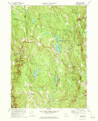
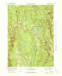
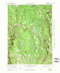
Editions of this 1972 Goshen Map
4 editions found
Other maps of this area

1885 · Northampton
USGS Topo · 1:62,500

1886 · Hawley
USGS Topo · 1:62,500

1886 · Chesterfield
USGS Topo · 1:62,500

1886 · Northampton
USGS Topo · 1:62,500

1888 · Chesterfield
USGS Topo · 1:62,500

1890 · Hawley
USGS Topo · 1:62,500

1890 · Greenfield
USGS Topo · 1:62,500

1891 · Northampton
USGS Topo · 1:62,500

1893 · Northampton
USGS Topo · 1:62,500

1893 · Chesterfield
USGS Topo · 1:62,500