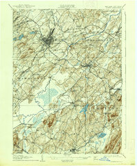
1938 Map of Goshen
USGS Topo · Published 1938About this map
Middletown serves as the primary urban hub on this Orange County landscape, where the Erie RR and the New York Ontario and Western RR intersect. The map illustrates a dense network of early 20th-century transportation and agriculture, characterized by the expansive black dirt farming regions surrounding the Wallkill River. Notable water management is evident through the Commissioners Ditch, a major drainage project designed to reclaim fertile bottomlands for cultivation.
Find a feature on this map
91 named features on this map. Tap any name to fly to it.
Don’t see what you’re looking for? This feature index may not catch every label — zoom into the map to look around manually.
Map Details
Editions of this 1938 Goshen Map
This is the sole edition of this map. No revisions or reprints were ever made.
Other maps of this area

1888 · Franklin
USGS Topo · 1:62,500

1891 · Greenwood Lake
USGS Topo · 1:62,500

1891 · Ramapo
USGS Topo · 1:62,500

1893 · Greenwood Lake
USGS Topo · 1:62,500

1893 · Ramapo
USGS Topo · 1:62,500
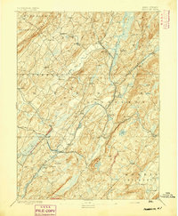
1894 · Franklin
USGS Topo · 1:62,500
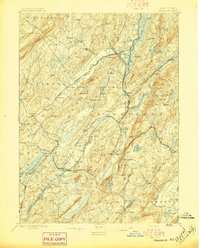
1897 · Franklin
USGS Topo · 1:62,500
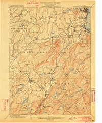
1902 · Schunemunk
USGS Topo · 1:62,500
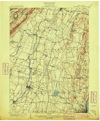
1903 · Newburg
USGS Topo · 1:62,500
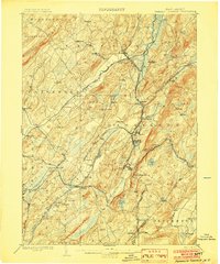
1903 · Franklin Furnace
USGS Topo · 1:62,500