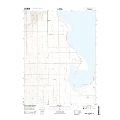
2014 Map of Goshen Valley North
USGS Topo · Published 2014About this map
Utah Lake dominates the eastern expanse of this 2014 survey, where its fluctuating shoreline meets the agricultural and desert lands of the Goshen Valley. The western terrain rises sharply toward Coyote Pass, creating a stark contrast between the low-lying basin and the upland ridges. Local transportation is defined by rural corridors such as the Mosida Trl and Lake Pipe Ln, reflecting a landscape geared toward utility and regional access. Near the southern boundary, Pinyon Cr drains toward the lake, carving a small path through the valley floor. The map highlights the intersection of natural hydrology and modern land management, showing how roads like Sunrise Ln extend into the valley's open reaches.
Find a feature on this map
10 named features on this map. Tap any name to fly to it.
Don’t see what you’re looking for? This feature index may not catch every label — zoom into the map to look around manually.
Map Details
Editions of this 2014 Goshen Valley North Map
This is the sole edition of this map. No revisions or reprints were ever made.
Other maps of this area

1885 · Salt Lake
USGS Topo · 1:250,000

1885 · Manti
USGS Topo · 1:250,000

1885 · Sevier Desert
USGS Topo · 1:250,000

1885 · Tooele Valley
USGS Topo · 1:250,000

1895 · Manti
USGS Topo · 1:250,000

1947 · Fivemile Pass
USGS Topo · 1:62,500

1947 · Allens Ranch
USGS Topo · 1:24,000

1947 · Goshen Pass
USGS Topo · 1:24,000

1949 · Eureka
USGS Topo · 1:24,000

1949 · Allens Ranch
USGS Topo · 1:24,000