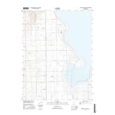
2017 Map of Goshen Valley North
USGS Topo · Published 2017About this map
Goshen Valley unfolds along the southwestern shoreline of Utah Lake in this 2017 survey, revealing a landscape defined by organized agricultural grids and wetland margins. The small settlement of Elberta sits at the junction of several rural routes, serving as a focal point for the surrounding fields. To the west, the terrain rises toward Coyote Pass, while the eastern portion of the map is dominated by the expansive waters of the lake and the marshy inlet near White Lake. Local drainage is managed by features like Pinyon Cr, which flows toward the southern marshes of the lake. The road network, including Old State Hwy 73 and the Goshen Bay Rd, highlights the connectivity between these remote agrarian blocks and the larger Utah County region.
Find a feature on this map
31 named features on this map. Tap any name to fly to it.
Don’t see what you’re looking for? This feature index may not catch every label — zoom into the map to look around manually.
Map Details
Editions of this 2017 Goshen Valley North Map
This is the sole edition of this map. No revisions or reprints were ever made.
Other maps of this area

1885 · Salt Lake
USGS Topo · 1:250,000

1885 · Manti
USGS Topo · 1:250,000

1885 · Sevier Desert
USGS Topo · 1:250,000

1885 · Tooele Valley
USGS Topo · 1:250,000

1895 · Manti
USGS Topo · 1:250,000

1947 · Fivemile Pass
USGS Topo · 1:62,500

1947 · Allens Ranch
USGS Topo · 1:24,000

1947 · Goshen Pass
USGS Topo · 1:24,000

1949 · Eureka
USGS Topo · 1:24,000

1949 · Allens Ranch
USGS Topo · 1:24,000