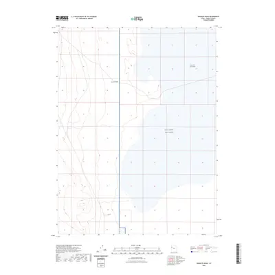
2023 Map of Goshute Wash
USGS Topo · Published 2023About this map
West Desert Test Center dominates the southeastern portion of this Tooele County map, marking a restricted landscape dedicated to specialized government operations. The terrain is defined by the stark, arid expanse of the Great Salt Lake Desert, where the elevation changes are minimal and the drainage patterns are intermittent. The primary hydrologic feature is the Goshute Wash, which trends northward through the center of the sheet. The spatial organization of the area reveals the intersection of public land survey sections and large-scale military reservations in the remote Utah interior. This map documents a transitional zone between the natural desert floor and the highly controlled infrastructure of the test center as it existed in the early twenty-first century.
Find a feature on this map
4 named features on this map. Tap any name to fly to it.
Don’t see what you’re looking for? This feature index may not catch every label — zoom into the map to look around manually.
Map Details
Editions of this 2023 Goshute Wash Map
This is the sole edition of this map. No revisions or reprints were ever made.
Other maps of this area

1908 · Fish Springs
USGS Topo · 1:250,000

1910 · Fish Springs
USGS Topo · 1:250,000

1925 · Gold Hill
USGS Topo · 1:62,500

1928 · Gold Hill
USGS Topo · 1:62,500

1953 · Tooele
USGS Topo · 1:250,000

1953 · Delta
USGS Topo · 1:250,000

1955 · Tooele
USGS Topo · 1:250,000

1958 · Delta
USGS Topo · 1:250,000

1962 · Delta
USGS Topo · 1:250,000
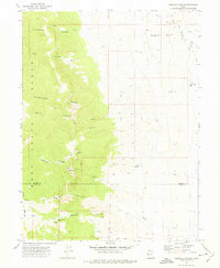
1972 · Goshute Canyon
USGS Topo · 1:24,000