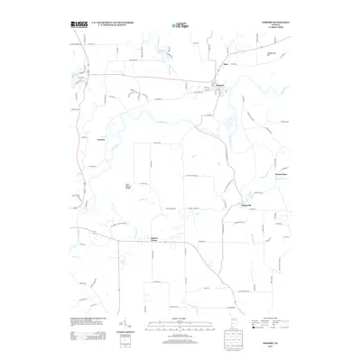
2013 Map of Gosport
USGS Topo · Published 2013About this map
The White River winds through this 2013 landscape, defining the character of northern Monroe and Owen counties. The settlement of Gosport sits prominently near the river bend, while the quarry-associated town of Stinesville occupies the eastern hills near Jacks Defeat Cr. This area is marked by significant geological interest, notably the Wolf Natural Bridges and the northern reaches of McCormicks Creek State Park. Small rural communities like Romona, Silex, and Highets Corner are scattered throughout, connected by a network of local roads such as W Flatwoods Rd and Co Line Rd. The terrain is punctuated by elevated features like Arganbright Hill and numerous drainages including Beanblossom Cr and Fall Cr, illustrating the complex hydrology that feeds the river system. This survey documents the intersection of rural agriculture, small-town life, and protected natural spaces.
Find a feature on this map
106 named features on this map. Tap any name to fly to it.
Don’t see what you’re looking for? This feature index may not catch every label — zoom into the map to look around manually.
Map Details
Editions of this 2013 Gosport Map
This is the sole edition of this map. No revisions or reprints were ever made.
Other maps of this area

1908 · Bloomington
USGS Topo · 1:48,000

1908 · Bloomfield
USGS Topo · 1:62,500

1910 · Bloomington
USGS Topo · 1:62,500

1947 · Gosport
USGS Topo · 1:24,000

1949 · Quincy
USGS Topo · 1:24,000

1950 · Gosport
USGS Topo · 1:24,000

1953 · Indianapolis
USGS Topo · 1:250,000

1956 · Indianapolis
USGS Topo · 1:250,000

1956 · Cataract
USGS Topo · 1:24,000

1956 · Freedom
USGS Topo · 1:24,000