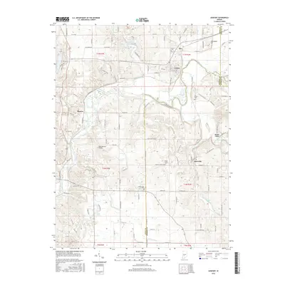
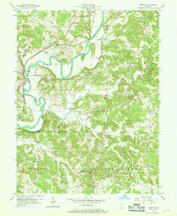
2016 Map of Gosport
USGS Topo · Published 2016About this map
The White River winds through the heart of this landscape, carving a path between the tri-county borders of Owen, Morgan, and Monroe. Historically significant settlements like Gosport and Stinesville anchor the region, the latter positioned near the meandering Beanblossom Creek. The terrain is marked by distinctive geological and topographical markers, from the elevations of Arganbright Hill to the unique Wolf Natural Bridges.
Find a feature on this map
116 named features on this map. Tap any name to fly to it.
Don’t see what you’re looking for? This feature index may not catch every label — zoom into the map to look around manually.
Map Details
Editions of this 2016 Gosport Map
This is the sole edition of this map. No revisions or reprints were ever made.
Other maps of this area
1908 · Bloomington
USGS Topo · 1:48,000
1908 · Bloomfield
USGS Topo · 1:62,500
1910 · Bloomington
USGS Topo · 1:62,500
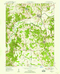
1947 · Gosport
USGS Topo · 1:24,000
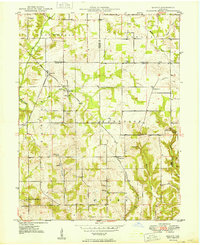
1949 · Quincy
USGS Topo · 1:24,000
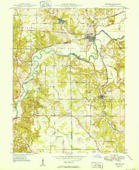
1950 · Gosport
USGS Topo · 1:24,000

1953 · Indianapolis
USGS Topo · 1:250,000

1956 · Indianapolis
USGS Topo · 1:250,000
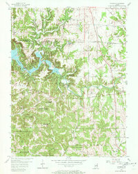
1956 · Cataract
USGS Topo · 1:24,000
1956 · Freedom
USGS Topo · 1:24,000