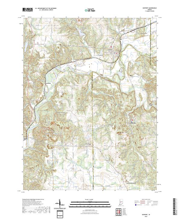
2022 Map of Gosport
USGS Topo · Published 2022About this map
The White River winds through the heart of this Owen and Monroe County borderland, defining the geography of historic river towns like Gosport and Romona. The landscape transitions from the river valley to the limestone-rich uplands, where the Indiana Rail Road corridor parallels the water through Silex. In the southern portion of the sheet, the terrain becomes more complex as it enters McCormicks Creek State Park, a site of significant geological interest featuring the Wolf Natural Bridges. Small rural settlements such as Stinesville and Mount Tabor are connected by a network of county roads like N Co Line Rd, which marks the divide between the two counties. Genealogists will find notable points of interest at the Van Buskirk Cem and Chambersville Cem, while landmarks like Arganbright Hill provide high points overlooking the valley.
Find a feature on this map
121 named features on this map. Tap any name to fly to it.
Don’t see what you’re looking for? This feature index may not catch every label — zoom into the map to look around manually.
Map Details
Editions of this 2022 Gosport Map
This is the sole edition of this map. No revisions or reprints were ever made.
Other maps of this area

1908 · Bloomington
USGS Topo · 1:48,000

1908 · Bloomfield
USGS Topo · 1:62,500

1910 · Bloomington
USGS Topo · 1:62,500

1947 · Gosport
USGS Topo · 1:24,000

1949 · Quincy
USGS Topo · 1:24,000

1950 · Gosport
USGS Topo · 1:24,000

1953 · Indianapolis
USGS Topo · 1:250,000

1956 · Indianapolis
USGS Topo · 1:250,000

1956 · Cataract
USGS Topo · 1:24,000

1956 · Freedom
USGS Topo · 1:24,000