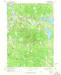
1967 Map of Gossville
USGS Topo · Published 1971About this map
Gossville and the village of Epsom anchor this late 1960s survey, illustrating a central New Hampshire landscape where agricultural roots meet burgeoning recreational development. The winding Suncook River and the tracks of the Suncook Valley RR define the western valley corridor, passing through Short Falls and New Rye. In the east, Northwood Lake and Pleasant Lake mark the transition toward the lake country, while the southern quadrant is dominated by the extensive acreage of Bear Brook State Park.
Find a feature on this map
83 named features on this map. Tap any name to fly to it.
Don’t see what you’re looking for? This feature index may not catch every label — zoom into the map to look around manually.
Map Details
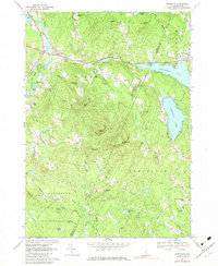
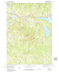
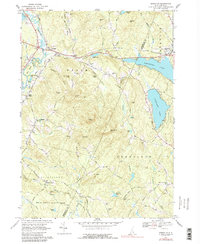
Editions of this 1967 Gossville Map
4 editions found
Other maps of this area

1917 · Mt. Pawtuckaway
USGS Topo · 1:62,500

1919 · Mt. Pawtuckaway
USGS Topo · 1:62,500

1919 · Gilmanton
USGS Topo · 1:62,500

1919 · Alton
USGS Topo · 1:62,500

1921 · Suncook
USGS Topo · 1:62,500

1927 · Gilmanton
USGS Topo · 1:62,500

1939 · Mt. Pawtuckaway
USGS Topo · 1:62,500

1944 · Mt. Pawtuckaway
USGS Topo · 1:62,500

1944 · Suncook
USGS Topo · 1:62,500

1949 · Portland
USGS Topo · 1:250,000