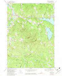
1967 Map of Gossville
USGS Topo · Published 1979About this map
Gossville and Epsom serve as central points in this late 1960s survey of Merrimack County, where the Suncook River and its tributaries carve through a landscape of prominent peaks like Fort Mtn and McCoy Mtn. The map documents a rural New Hampshire transition, showing the path of the Suncook Valley Railroad alongside established settlements such as Short Falls and Northwood Narrows.
Find a feature on this map
63 named features on this map. Tap any name to fly to it.
Don’t see what you’re looking for? This feature index may not catch every label — zoom into the map to look around manually.
Map Details
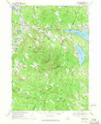
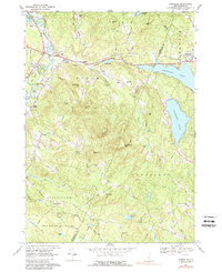
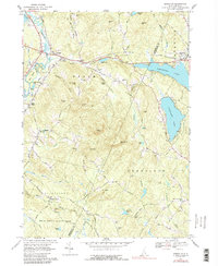
Editions of this 1967 Gossville Map
4 editions found
Other maps of this area

1917 · Mt. Pawtuckaway
USGS Topo · 1:62,500

1919 · Mt. Pawtuckaway
USGS Topo · 1:62,500

1919 · Gilmanton
USGS Topo · 1:62,500

1919 · Alton
USGS Topo · 1:62,500

1921 · Suncook
USGS Topo · 1:62,500

1927 · Gilmanton
USGS Topo · 1:62,500

1939 · Mt. Pawtuckaway
USGS Topo · 1:62,500

1944 · Mt. Pawtuckaway
USGS Topo · 1:62,500

1944 · Suncook
USGS Topo · 1:62,500

1949 · Portland
USGS Topo · 1:250,000