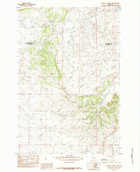
1985 Map of Gougley Creek
USGS Topo · Published 1985About this map
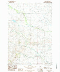
The Cayuse Hills dominate this high-plains landscape in central Montana, forming a series of dissected ridges and complex drainage basins during the mid-1980s. The terrain is defined by a dense network of coulees and seasonal watercourses, including the family-named Fredrickson Coulee and the descriptively named Sheep Shed Coulee. These features suggest a history of open-range livestock management and isolated ranching activity typical of the borderlands between Wheatland and Sweet Grass counties.
Find a feature on this map
10 named features on this map. Tap any name to fly to it.
Don’t see what you’re looking for? This feature index may not catch every label — zoom into the map to look around manually.
Map Details
Editions of this 1985 Gougley Creek Map
This is the sole edition of this map. No revisions or reprints were ever made.
Other maps of this area

1889 · Big Snowy Mountain
USGS Topo · 1:250,000

1893 · Big Snowy Mountain
USGS Topo · 1:250,000

1954 · Roundup
USGS Topo · 1:250,000

1958 · Roundup
USGS Topo · 1:250,000
1985 · Upper Glaston Lake
USGS Topo · 1:24,000

1985 · Jim Creek
USGS Topo · 1:24,000
1985 · Melville NW
USGS Topo · 1:24,000
1985 · Gibson SW
USGS Topo · 1:24,000
1985 · Melville
USGS Topo · 1:24,000
1986 · Ten O'Clock Gate
USGS Topo · 1:24,000