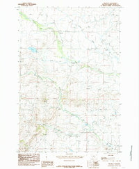
1985 Map of Melville
USGS Topo · Published 1985About this map
Melville serves as the central hub of this ranching landscape in the mid-1980s, where the management of water is the most visible signature on the terrain. The hydrological system is complex, featuring the Upper Sweet Grass Canal and Lower Sweet Grass Canal that snake across the foothills to redirect flow from Sweet Grass Creek. This network includes technical elements like a siphon and sections marked as Abnd Canal, illustrating the evolving nature of irrigation in this corner of Montana.
Find a feature on this map
17 named features on this map. Tap any name to fly to it.
Don’t see what you’re looking for? This feature index may not catch every label — zoom into the map to look around manually.
Map Details
Editions of this 1985 Melville Map
This is the sole edition of this map. No revisions or reprints were ever made.
Other maps of this area

1886 · Little Belt Mts.
USGS Topo · 1:250,000

1889 · Big Snowy Mountain
USGS Topo · 1:250,000

1891 · Livingston
USGS Topo · 1:250,000

1891 · Big Timber
USGS Topo · 1:125,000

1893 · Livingston
USGS Topo · 1:250,000

1893 · Big Snowy Mountain
USGS Topo · 1:250,000

1893 · Big Timber
USGS Topo · 1:125,000

1894 · Little Belt Mts.
USGS Topo · 1:250,000

1897 · Little Belt Mts.
USGS Topo · 1:250,000

1898 · Little Belt Mts.
USGS Topo · 1:250,000