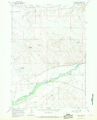
1966 Map of Gould Butte
USGS Topo · Published 1969About this map
The Greybull River valley serves as the lifeblood of this Big Horn County landscape, where early irrigation networks such as the Farmers Canal, Agrarian Ditch, and White Ditch converted the semi-arid basins into productive land. Rural life is anchored by the Gould Sch and the Dorsey Sta, reflecting the decentralized settlement patterns of the mid-20th century. To the north, the terrain rises sharply toward the Emblem Bench and the prominent Gould Butte, cut by dramatic drainages like Horseshoe Draw and Dry Gulch. Numerous water management features including the Trigood Reservoir and Mc Kinnie Reservoir dot the higher elevations. The map reveals a land defined by its geology, from the Three Sisters peaks to the gravel pits and Sandstone deposits that supported local infrastructure and industry along the Greybull River Road.
Find a feature on this map
26 named features on this map. Tap any name to fly to it.
Don’t see what you’re looking for? This feature index may not catch every label — zoom into the map to look around manually.
Map Details
Editions of this 1966 Gould Butte Map
2 editions found
Other maps of this area

1951 · Wardel Reservoir
USGS Topo · 1:24,000

1951 · Otto
USGS Topo · 1:24,000

1955 · Cody
USGS Topo · 1:250,000

1958 · Cody
USGS Topo · 1:250,000

1962 · Cody
USGS Topo · 1:250,000
1966 · Sheep Canyon
USGS Topo · 1:24,000
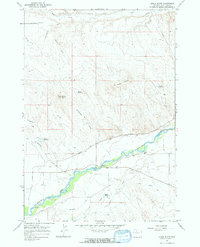
1966 · Gould Butte
USGS Topo · 1:24,000
1966 · Orchard Bench
USGS Topo · 1:24,000
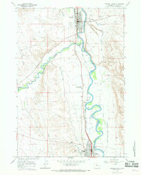
1966 · Greybull South
USGS Topo · 1:24,000
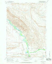
1966 · Greybull North
USGS Topo · 1:24,000