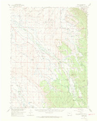
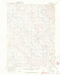
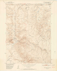
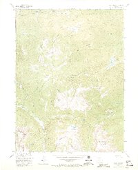
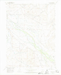
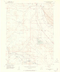
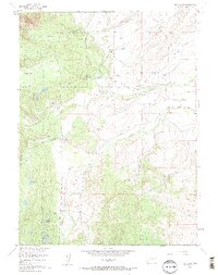
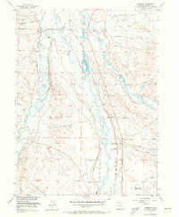
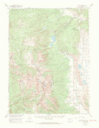
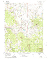
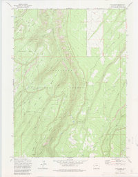
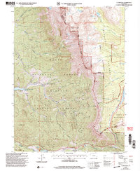
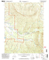
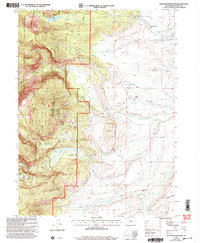
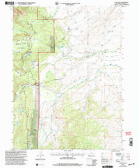
1956 Map of Gould
USGS Topo · Published 1969This historical map portrays the area of Gould in 1956, primarily covering Jackson County as well as portions of Larimer County. Featuring a scale of 1:62500, this map provides a highly detailed snapshot of the terrain, roads, buildings, counties, and historical landmarks in the Gould region at the time. Published in 1969, it is one of 2 known editions of this map due to revisions or reprints.
Find a feature on this map
85 named features on this map. Tap any name to fly to it.
Don’t see what you’re looking for? This feature index may not catch every label — zoom into the map to look around manually.
Map Details
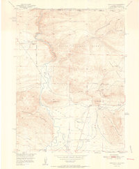
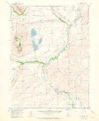
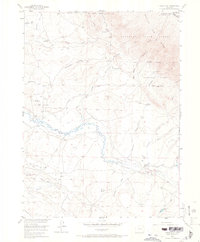
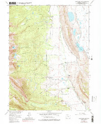
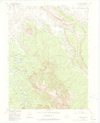
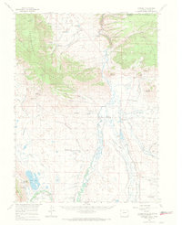
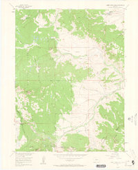
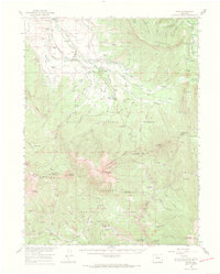
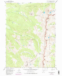
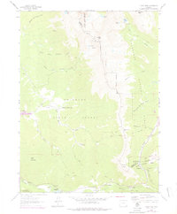
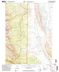
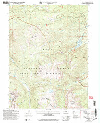
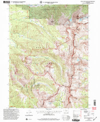
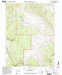
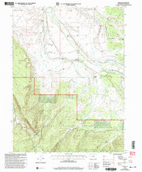
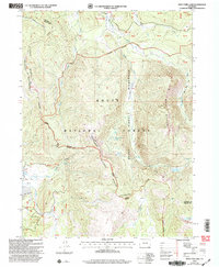
Editions of this 1956 Gould Map
2 editions found
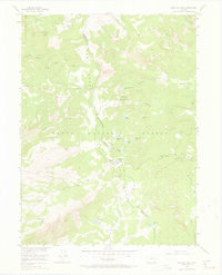
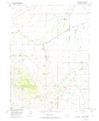
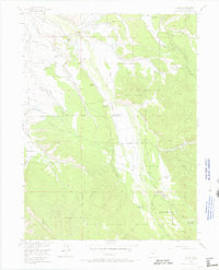
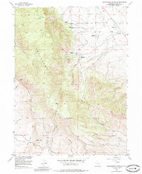
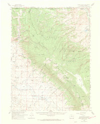
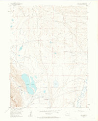
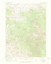
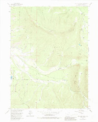
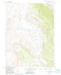
Historical Maps of Stelbars Lindland Through Time
55 maps found
1950 Kings Canyon
Jackson County, CO
1950 Northgate
Jackson County, CO
1952 Kings Canyon
Jackson County, CO
1952 Northgate
Jackson County, CO
1955 Buffalo Pass
Jackson County, CO
1955 Coalmont
Jackson County, CO
1955 Davis Peak
Jackson County, CO
1955 Delaney Butte
Jackson County, CO
1955 Eagle Hill
Jackson County, CO
1955 Gould
Jackson County, CO
1955 Gould NW
Jackson County, CO
1955 Independence Mountain
Jackson County, CO
1955 Kings Canyon
Jackson County, CO
1955 Lake John
Jackson County, CO
1955 Macfarlane Reservoir
Jackson County, CO
1955 Mount Ethel
Jackson County, CO
1955 Owl Ridge
Jackson County, CO

1955 Pearl
Jackson County, CO
1955 Pitchpine Mountain
Jackson County, CO
1955 Teal Lake
Jackson County, CO
1956 Boettcher Lake
Jackson County, CO
1956 Buffalo Peak
Jackson County, CO
1956 Cowdrey
Jackson County, CO
1956 Cowdrey
Jackson County, CO
1956 Gould
Jackson County, CO
1956 Hyannis Peak
Jackson County, CO
1956 Jack Creek Ranch
Jackson County, CO
1956 Johnny Moore Mountain
Jackson County, CO
1956 Pearl
Jackson County, CO
1956 Rabbit Ears Peak
Jackson County, CO
1956 Rand
Jackson County, CO
1956 Rand
Jackson County, CO
1956 Spicer Peak
Jackson County, CO
1957 Mount Richthofen
Jackson County, CO
1962 Clark Peak
Jackson County, CO
1962 West Fork Lake
Jackson County, CO
1973 Davis Peak
Jackson County, CO
2000 Boettcher Lake
Jackson County, CO
2000 Buffalo Pass
Jackson County, CO
2000 Buffalo Peak
Jackson County, CO
2000 Clark Peak
Jackson County, CO
2000 Davis Peak
Jackson County, CO
2000 Eagle Hill
Jackson County, CO
2000 Gould
Jackson County, CO
2000 Jack Creek Ranch
Jackson County, CO

2000 Johnny Moore Mountain
Jackson County, CO
2000 Mount Richthofen
Jackson County, CO
2000 Northgate
Jackson County, CO
2000 Pearl
Jackson County, CO
2000 Pitchpine Mountain
Jackson County, CO
2000 Rabbit Ears Peak
Jackson County, CO
2000 Rand
Jackson County, CO
2000 Spicer Peak
Jackson County, CO
2000 Teal Lake
Jackson County, CO
2000 West Fork Lake
Jackson County, CO