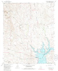
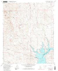
1964 Map of Governors Peak
USGS Topo · Published 1986About this map
Castle Hot Springs stands as a focal point in this 1960s landscape, situated north of the Hieroglyphic Mountains along the Yavapai and Maricopa county line. The terrain is defined by a complex network of drainage systems, including Humbug Creek, Castle Creek, and Coles Wash, all feeding toward the southern expanse of Lake Pleasant. This mid-century survey captures the region's sparse but significant human footprint, from the Petroglyphs found near Tule Creek to the small settlements at Casa Rosa and Morgan City. The topography is marked by prominent heights such as Salvation Peak and Governors Peak, while the Agua Fria River fills the reservoir at the quadrangle's southeastern corner. Evidence of early infrastructure is visible through a system of pack trails, jeep trails, and a solitary landing strip positioned near French Creek.
Find a feature on this map
45 named features on this map. Tap any name to fly to it.
Don’t see what you’re looking for? This feature index may not catch every label — zoom into the map to look around manually.
Map Details
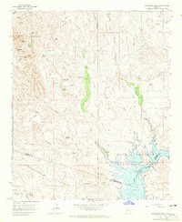
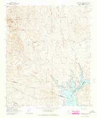
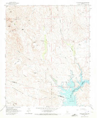
Editions of this 1964 Governors Peak Map
5 editions found
Other maps of this area

1887 · Prescott
USGS Topo · 1:250,000

1892 · Prescott
USGS Topo · 1:250,000

1903 · Bradshaw Mountains
USGS Topo · 1:125,000

1947 · Crown King
USGS Topo · 1:62,500

1947 · Bumblebee
USGS Topo · 1:62,500

1948 · Bumblebee
USGS Topo · 1:63,360

1948 · Crown King
USGS Topo · 1:63,360

1950 · Crown King
USGS Topo · 1:62,500

1950 · Bumblebee
USGS Topo · 1:62,500

1950 · Prescott
USGS Topo · 1:250,000