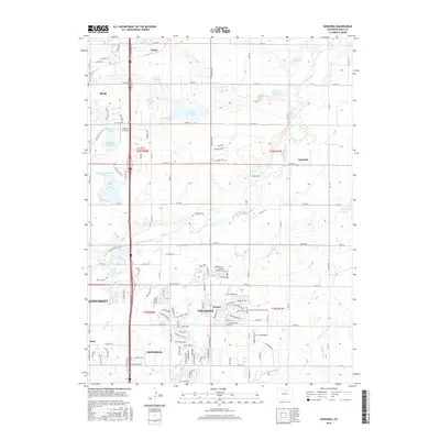
2016 Map of Gowanda
USGS Topo · Published 2016About this map
Firestone and Frederick anchor the southern portion of this landscape, showing the suburban expansion and residential street grids typical of the early 21st-century Front Range. This era is characterized by a dense network of local roads and boulevards like Firestone Blvd and Fox Run Blvd, which interface with the historical agricultural and water management systems. The hydrology of the area is defined by a complex series of irrigation canals and reservoirs, including the Lupton Bottom Ditch, Last Chance Ditch, and Stanley Ditch, which redirect water from Saint Vrain Creek to support the surrounding plains.
Find a feature on this map
55 named features on this map. Tap any name to fly to it.
Don’t see what you’re looking for? This feature index may not catch every label — zoom into the map to look around manually.
Map Details
Editions of this 2016 Gowanda Map
This is the sole edition of this map. No revisions or reprints were ever made.
Other maps of this area

1902 · Greeley
USGS Topo · 1:125,000

1904 · Niwot
USGS Topo · 1:62,500

1906 · Loveland
USGS Topo · 1:62,500

1908 · Loveland
USGS Topo · 1:62,500

1949 · Gowanda
USGS Topo · 1:24,000

1949 · Fort Lupton
USGS Topo · 1:24,000

1949 · Platteville
USGS Topo · 1:24,000

1950 · Frederick
USGS Topo · 1:24,000

1950 · Gowanda
USGS Topo · 1:24,000

1950 · Platteville
USGS Topo · 1:24,000