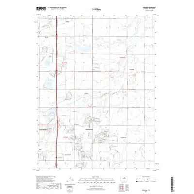
2019 Map of Gowanda
USGS Topo · Published 2019About this map
Firestone and Frederick anchor the southern portion of this landscape, representing the modern footprint of these front-range communities. The topography is defined by an extensive water management system designed for agricultural and municipal use, featuring a dense network of reservoirs including Lake Thomas, McKay Reservoir, and Mulligan Reservoir. These bodies of water are interconnected by vital irrigation arteries like the Last Chance Ditch and Highland Ditch, which redirect water across the plains surrounding Saint Vrain Creek. North of the more developed towns, smaller settlements like Mead and Maloy sit among a grid of county roads that illustrate the region's transition from traditional farming to residential growth. Recreational features such as Barbour Ponds Campground and the Pelican Pond Trail highlight the intersection of natural riparian corridors and modern infrastructure near the corridor of HWY 119.
Find a feature on this map
61 named features on this map. Tap any name to fly to it.
Don’t see what you’re looking for? This feature index may not catch every label — zoom into the map to look around manually.
Map Details
Editions of this 2019 Gowanda Map
This is the sole edition of this map. No revisions or reprints were ever made.
Other maps of this area

1902 · Greeley
USGS Topo · 1:125,000

1904 · Niwot
USGS Topo · 1:62,500

1906 · Loveland
USGS Topo · 1:62,500

1908 · Loveland
USGS Topo · 1:62,500

1949 · Gowanda
USGS Topo · 1:24,000

1949 · Fort Lupton
USGS Topo · 1:24,000

1949 · Platteville
USGS Topo · 1:24,000

1950 · Frederick
USGS Topo · 1:24,000

1950 · Gowanda
USGS Topo · 1:24,000

1950 · Platteville
USGS Topo · 1:24,000