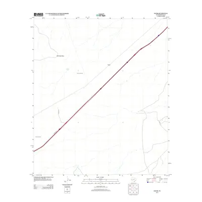
2013 Map of Gozar
USGS Topo · Published 2013About this map
The arid landscape of Reeves County is defined by its agricultural infrastructure and sparse settlements in this 2013 survey. Central to the area is Gozar, positioned alongside a primary thoroughfare that cuts diagonally across the desert terrain. To the northwest, the Old House Place suggests a location of earlier habitation or a specific homestead of interest to local historians. The survival of such outposts in this environment depends heavily on water management, evidenced by the presence of Ramsey Tank and specialized equipment like the Three Inch Windmill and Harwell Windmill. These features indicate the necessity of tapping deep aquifers to support life and livestock. The area's connectivity is maintained through a network of local routes including Johnson Rd and Co Rd 336, which link isolated landmarks across the wide-open West Texas expanse.
Find a feature on this map
8 named features on this map. Tap any name to fly to it.
Don’t see what you’re looking for? This feature index may not catch every label — zoom into the map to look around manually.
Map Details
Editions of this 2013 Gozar Map
This is the sole edition of this map. No revisions or reprints were ever made.
Other maps of this area
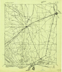
1921 · Toyah
USGS Topo · 1:125,000
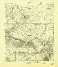
1928 · Kent
USGS Topo · 1:125,000
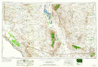
1954 · Van Horn
USGS Topo · 1:250,000

1954 · Pecos
USGS Topo · 1:250,000
1957 · Pecos
USGS Topo · 1:250,000
1958 · Van Horn
USGS Topo · 1:250,000
1970 · Florenzo Hill
USGS Topo · 1:24,000
1970 · Toyah
USGS Topo · 1:24,000
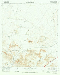
1970 · San Martine
USGS Topo · 1:24,000
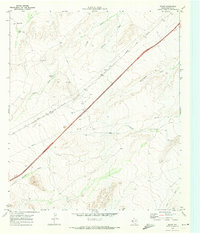
1970 · Gozar
USGS Topo · 1:24,000