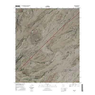
2016 Map of Gozar
USGS Topo · Published 2016About this map
The arid landscape of Reeves County is defined by a complex network of ephemeral drainages that intersect the high desert floor. San Martine Draw and Billingslea Draw dominate the western and central portions of the quadrangle, illustrating the natural water-flow patterns across the terrain. These natural features contrast with the modern transportation corridor where I20 Svc Rd cuts diagonally across the sheet, marking a significant transit artery through the region.
Find a feature on this map
9 named features on this map. Tap any name to fly to it.
Don’t see what you’re looking for? This feature index may not catch every label — zoom into the map to look around manually.
Map Details
Editions of this 2016 Gozar Map
This is the sole edition of this map. No revisions or reprints were ever made.
Other maps of this area
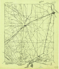
1921 · Toyah
USGS Topo · 1:125,000
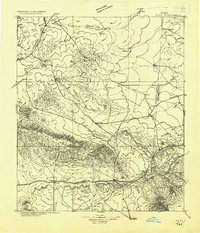
1928 · Kent
USGS Topo · 1:125,000
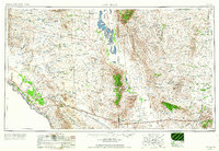
1954 · Van Horn
USGS Topo · 1:250,000

1954 · Pecos
USGS Topo · 1:250,000
1957 · Pecos
USGS Topo · 1:250,000
1958 · Van Horn
USGS Topo · 1:250,000
1970 · Florenzo Hill
USGS Topo · 1:24,000
1970 · Toyah
USGS Topo · 1:24,000
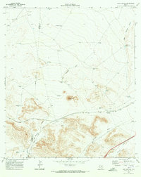
1970 · San Martine
USGS Topo · 1:24,000
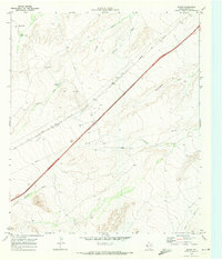
1970 · Gozar
USGS Topo · 1:24,000