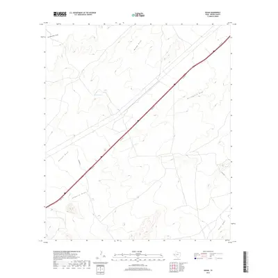
2019 Map of Gozar
USGS Topo · Published 2019About this map
San Martine Draw and Billingslea Draw define the drainage patterns of this Reeves County landscape, where the high desert terrain is marked by seasonal watercourses and occasional catchments like Ramsey Tank. The modern infrastructure of the I20 Svc Rd cuts a sharp diagonal across the quadrangle, reflecting the importance of the Interstate 20 corridor for transportation through West Texas. Local access is facilitated by secondary routes such as Johnson Rd and Co Rd 335, which provide entry to the surrounding rangeland. The map illustrates a series of distinct draws, including Moody Draw, Harwell Draw, and Ninemile Draw, showing how the topography funnels toward the southeast corner near Sotol Draw.
Find a feature on this map
10 named features on this map. Tap any name to fly to it.
Don’t see what you’re looking for? This feature index may not catch every label — zoom into the map to look around manually.
Map Details
Editions of this 2019 Gozar Map
This is the sole edition of this map. No revisions or reprints were ever made.
Other maps of this area
1921 · Toyah
USGS Topo · 1:125,000
1928 · Kent
USGS Topo · 1:125,000
1954 · Van Horn
USGS Topo · 1:250,000

1954 · Pecos
USGS Topo · 1:250,000
1957 · Pecos
USGS Topo · 1:250,000
1958 · Van Horn
USGS Topo · 1:250,000
1970 · Florenzo Hill
USGS Topo · 1:24,000
1970 · Toyah
USGS Topo · 1:24,000
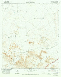
1970 · San Martine
USGS Topo · 1:24,000
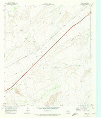
1970 · Gozar
USGS Topo · 1:24,000