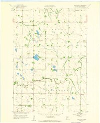
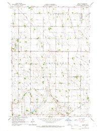
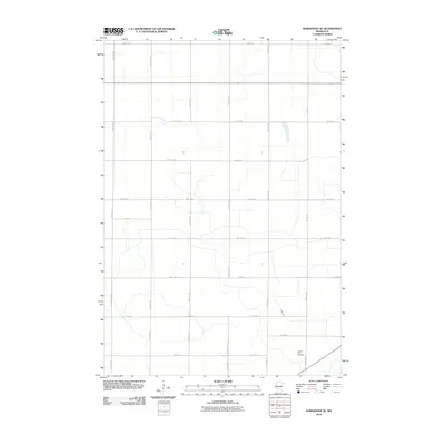
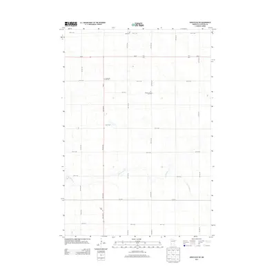
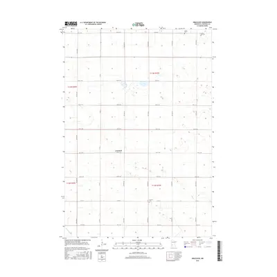
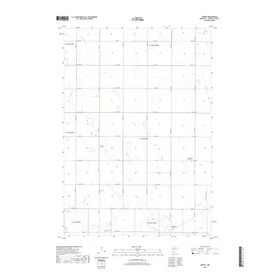
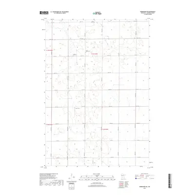
1958 Map of Gracelock SW
USGS Topo · Published 1960About this map
Dry Weather Creek meanders through the heart of this agricultural landscape in Chippewa County, defining the drainage patterns for the surrounding townships of Mandt, Rosewood, and Big Bend. In the late 1950s, this area remained a dense network of small school districts and rural parishes, evidenced by the high concentration of numbered schoolhouses such as School No 311 and School No 294.
Find a feature on this map
17 named features on this map. Tap any name to fly to it.
Don’t see what you’re looking for? This feature index may not catch every label — zoom into the map to look around manually.
Map Details
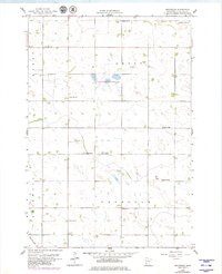
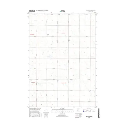
Editions of this 1958 Gracelock SW Map
This is the sole edition of this map. No revisions or reprints were ever made.
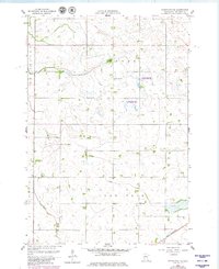
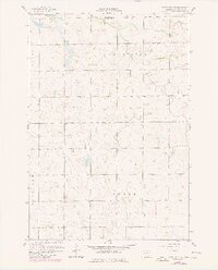
Historical Maps of Chippewa County Through Time
30 maps found
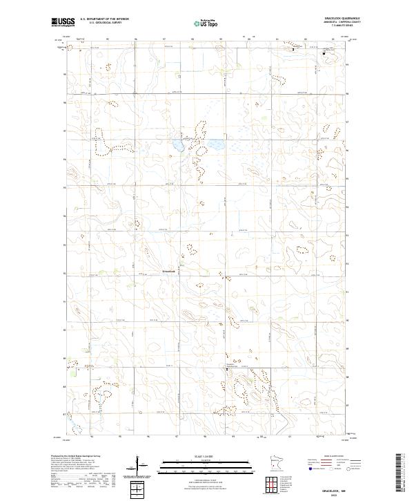
1958 Gracelock
Chippewa County, MN
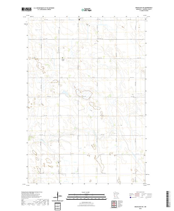
1958 Gracelock SW
Chippewa County, MN
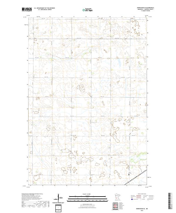
1958 Kerkhoven SE
Chippewa County, MN
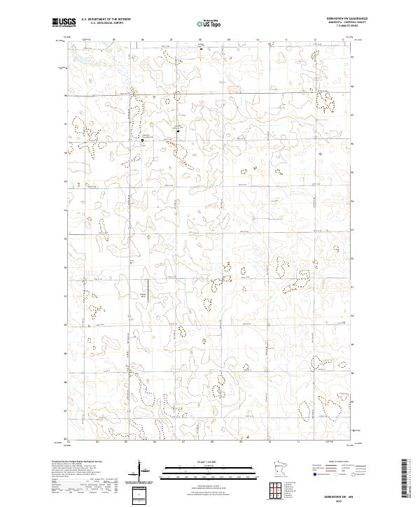
1958 Kerkhoven SW
Chippewa County, MN
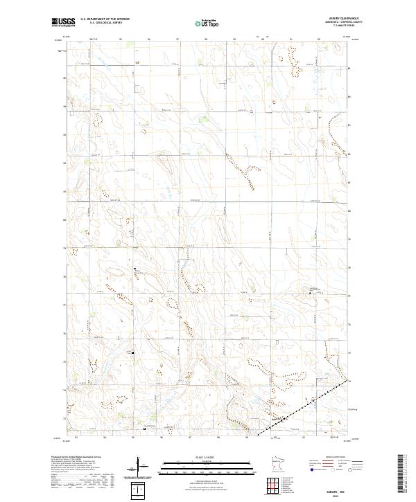
1965 Asbury
Chippewa County, MN
2010 Asbury
Chippewa County, MN
2010 Gracelock
Chippewa County, MN
2010 Gracelock SW
Chippewa County, MN
2010 Kerkhoven SE
Chippewa County, MN
2010 Kerkhoven SW
Chippewa County, MN
2013 Asbury
Chippewa County, MN
2013 Gracelock
Chippewa County, MN
2013 Gracelock SW
Chippewa County, MN
2013 Kerkhoven SE
Chippewa County, MN
2013 Kerkhoven SW
Chippewa County, MN
2016 Asbury
Chippewa County, MN
2016 Gracelock
Chippewa County, MN
2016 Gracelock SW
Chippewa County, MN
2016 Kerkhoven SE
Chippewa County, MN
2016 Kerkhoven SW
Chippewa County, MN
2019 Asbury
Chippewa County, MN
2019 Gracelock
Chippewa County, MN
2019 Gracelock SW
Chippewa County, MN
2019 Kerkhoven SE
Chippewa County, MN
2019 Kerkhoven SW
Chippewa County, MN
2022 Asbury
Chippewa County, MN
2022 Gracelock
Chippewa County, MN
2022 Gracelock SW
Chippewa County, MN
2022 Kerkhoven SE
Chippewa County, MN
2022 Kerkhoven SW
Chippewa County, MN