Loading...
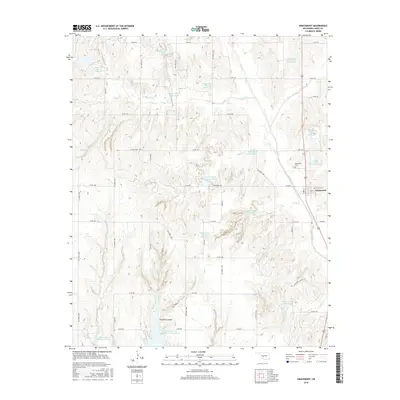
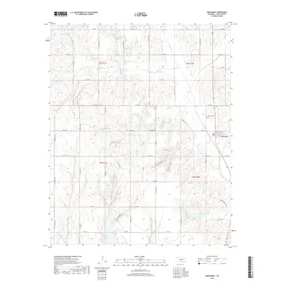
Loading map...2022 Map of Gracemont
USGS Topo · Published 2022About this map
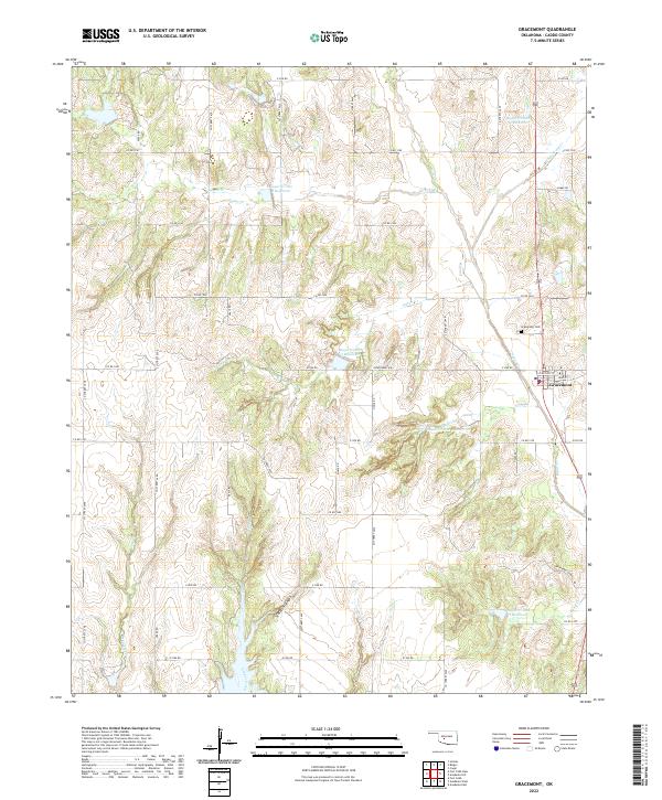
Gracemont serves as the primary hub of this Caddo County landscape, situated where Main St and E McCall St meet. The area is defined by a complex network of waterways and water management systems, including Keechi Cr, White Bread Cr, and Deep Creek. This hydrological pattern is further punctuated by a series of engineered basins such as Sugar Cr Site 34 Reservoir and Sugar Cr Site 4 Reservoir, reflecting the region's focus on soil conservation and flood control.
Find a feature on this map
52 named features on this map. Tap any name to fly to it.
Don’t see what you’re looking for? This feature index may not catch every label — zoom into the map to look around manually.
Map Details
Date Portrayed2022
Date Published2022
PublisherU.S. Geological Survey
Map TypeTopographic
Scale1:24,000
Physical Dimensions24 x 29 inches
Editions of this 2022 Gracemont Map
This is the sole edition of this map. No revisions or reprints were ever made.
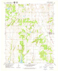
Historical Maps of Gracemont Through Time
6 maps found
Featured Locations
Source Details
SourceU.S. Geological Survey
CopyrightPublic Domain