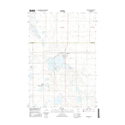
2016 Map of Graceville
USGS Topo · Published 2016About this map
Graceville serves as the primary hub in this prairie landscape, where the town's street grid meets the shores of E Toqua Lake. The town is well-integrated with local infrastructure, featuring the Kapaun-Wilson Field and the Graceville Cem nearby. Further south, the Big Stone Colony and its associated Big Stone Hutterite Colony Cem highlight a distinct communal land use pattern.
Find a feature on this map
35 named features on this map. Tap any name to fly to it.
Don’t see what you’re looking for? This feature index may not catch every label — zoom into the map to look around manually.
Map Details
Editions of this 2016 Graceville Map
This is the sole edition of this map. No revisions or reprints were ever made.
Other maps of this area

1916 · Beardsley
USGS Topo · 1:62,500

1918 · Beardsley
USGS Topo · 1:62,500

1950 · Graceville
USGS Topo · 1:62,500

1953 · Ortonville
USGS Topo · 1:62,500

1953 · Milbank
USGS Topo · 1:250,000

1954 · Big Stone Lake
USGS Topo · 1:62,500

1958 · Milbank
USGS Topo · 1:250,000

1971 · Big Stone Lake East
USGS Topo · 1:24,000

1971 · Dismal Swamp
USGS Topo · 1:24,000
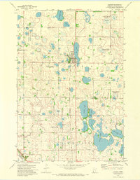
1971 · Clinton
USGS Topo · 1:24,000
Featured Places
- Graceville, MN
- Big Stone Hutterite Colony, MN
- Big Stone Colony, MN
- Traverse County, MN
- Big Stone County, MN