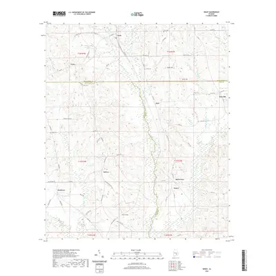
2020 Map of Grady
USGS Topo · Published 2020About this map
Grady and Helicon anchor this central Alabama landscape where the borders of Montgomery, Crenshaw, and Pike counties converge. The terrain is defined by a dense network of creek branches and small mill streams, including Patsaliga Cr, Weaver Mill Cr, and Fannin Mill Cr, which cut through the high ground of Collier Hill and Carter Hill. The rural character of the area is evident in the many small family cemeteries such as Garner Cem and Carter Cem, alongside early crossing points like Salter Bridge. This map details a region historically tied to its watercourses, with several ponds and small lakes like Menefee Lake and Trotter Pond scattered among the timbered hills. The crossroads at Helicon Crossroads and the settlement at Bradleyton show the enduring road patterns connecting these agricultural and woodland communities.
Find a feature on this map
83 named features on this map. Tap any name to fly to it.
Don’t see what you’re looking for? This feature index may not catch every label — zoom into the map to look around manually.
Map Details
Editions of this 2020 Grady Map
This is the sole edition of this map. No revisions or reprints were ever made.
Other maps of this area

1953 · Montgomery
USGS Topo · 1:250,000

1953 · Andalusia
USGS Topo · 1:250,000

1956 · Montgomery
USGS Topo · 1:250,000

1957 · Montgomery
USGS Topo · 1:250,000

1957 · Andalusia
USGS Topo · 1:250,000

1957 · Letohatchee
USGS Topo · 1:62,500
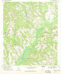
1968 · Youngblood
USGS Topo · 1:24,000
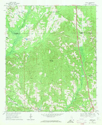
1968 · Ansley
USGS Topo · 1:24,000

1968 · Petrey
USGS Topo · 1:24,000

1968 · Grady
USGS Topo · 1:24,000