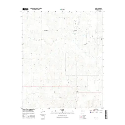
2016 Map of Grady
USGS Topo · Published 2016About this map
Grady and Atlee anchor this southern Oklahoma landscape, where the Jefferson County prairie is etched by a series of branching waterways. The drainage network is dominated by the forks of Mud Creek, including West Mud Creek, which wind through the terrain alongside Post Oak Creek and Baker Creek. The map documents a rural road system defined by both numeric section lines and local named routes like Grady Park Boulevard and James Ewbank Boulevard. For genealogists and local historians, the presence of the Grady Cemetery and Atlee Cemetery provides essential geographic markers for these small communities. The industrial and agricultural needs of the area are reflected in features like the 067006 Reservoir, situated amongst a grid of rural roads and scattered homesteads.
Find a feature on this map
36 named features on this map. Tap any name to fly to it.
Don’t see what you’re looking for? This feature index may not catch every label — zoom into the map to look around manually.
Map Details
Editions of this 2016 Grady Map
This is the sole edition of this map. No revisions or reprints were ever made.
Other maps of this area

1901 · Addington
USGS Topo · 1:125,000

1905 · Montague
USGS Topo · 1:125,000

1954 · Sherman
USGS Topo · 1:250,000

1957 · Ardmore
USGS Topo · 1:250,000

1958 · Sherman
USGS Topo · 1:250,000

1962 · Ryan
USGS Topo · 1:62,500

1963 · Ardmore
USGS Topo · 1:250,000
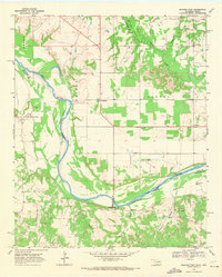
1968 · Spanish Fort
USGS Topo · 1:24,000

1968 · Fleetwood
USGS Topo · 1:24,000
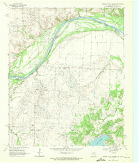
1968 · Prairie Valley School
USGS Topo · 1:24,000