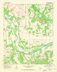
1968 Map of Spanish Fort
USGS Topo · Published 1971About this map
The Red River winds through this 1968 landscape, defining the winding boundary between Jefferson and Love Counties in Oklahoma and Montague County in Texas. Small agricultural and ranching settlements like Spanish Fort, Belleville, and Petersburg dot the plains, many centered around local cemeteries and communal landmarks like the Community Center. This era of the borderlands shows a transition from traditional farming toward industrial development, evidenced by the scattered Oil Wells and the Illinois Bend Oil Field south of the river.
Find a feature on this map
37 named features on this map. Tap any name to fly to it.
Don’t see what you’re looking for? This feature index may not catch every label — zoom into the map to look around manually.
Map Details
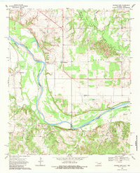
Editions of this 1968 Spanish Fort Map
2 editions found
Other maps of this area

1901 · Addington
USGS Topo · 1:125,000

1901 · Ardmore
USGS Topo · 1:125,000

1902 · Gainesville
USGS Topo · 1:125,000

1905 · Montague
USGS Topo · 1:125,000

1918 · Ardmore
USGS Topo · 1:125,000

1943 · Gainesville
USGS Topo · 1:125,000

1954 · Sherman
USGS Topo · 1:250,000

1957 · Ardmore
USGS Topo · 1:250,000

1958 · Sherman
USGS Topo · 1:250,000

1963 · Ardmore
USGS Topo · 1:250,000