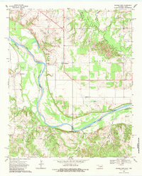
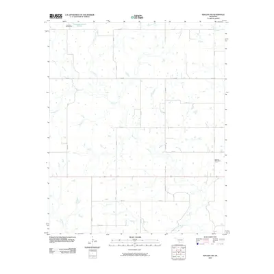
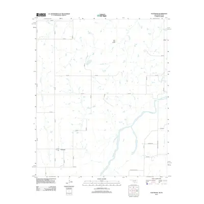
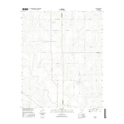
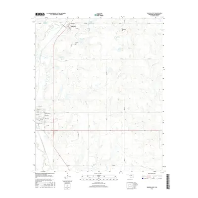
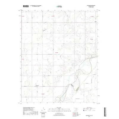
1968 Map of Spanish Fort
USGS Topo · Published 1984About this map
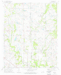
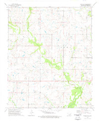
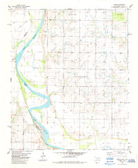
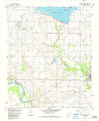
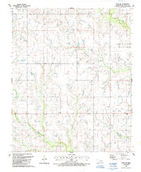
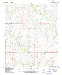
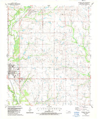
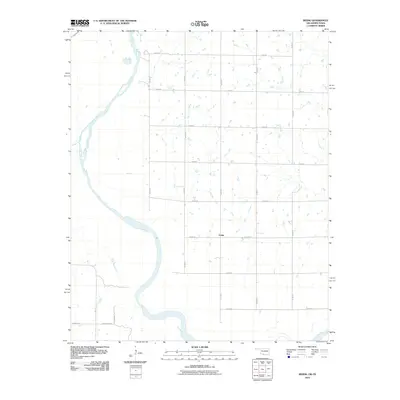
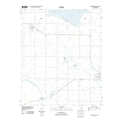
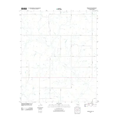
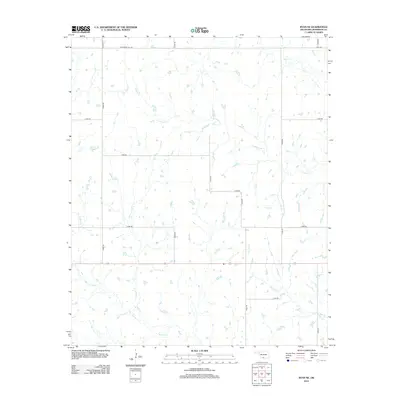
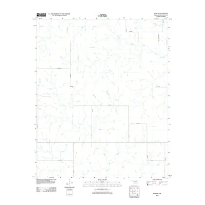
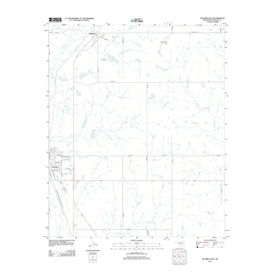
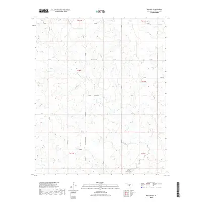
The Red River meanders along the Oklahoma-Texas border, defining the landscape of Jefferson and Montague counties as they appeared in the late 1960s. This survey records a riverine environment shaped by erosion and shifting boundaries, where an Indefinite Boundary marks the complex division between the two states. The rural economy is evident through the Illinois Bend Oil Field and scattered agricultural settlements like Spanish Fort, which sits near the confluence of Village Creek and the main channel. Family and community heritage is deeply rooted here, preserved in several burial grounds including Liberty Chapel Cem, Petersburg Cem, and Bourland Cem. To the north and east, the terrain transitions toward Burney and Brushy Mound, drained by a network of tributaries such as Mud Creek and Sandy Creek. Small community hubs like Petersburg, Belleville, and Courtney serve as anchor points across this borderland cattle and oil country.
Find a feature on this map
40 named features on this map. Tap any name to fly to it.
Don’t see what you’re looking for? This feature index may not catch every label — zoom into the map to look around manually.
Map Details
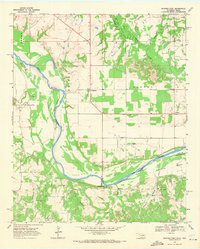
Editions of this 1968 Spanish Fort Map
2 editions found
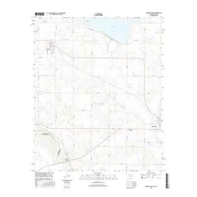
Historical Maps of Belleville Through Time
55 maps found
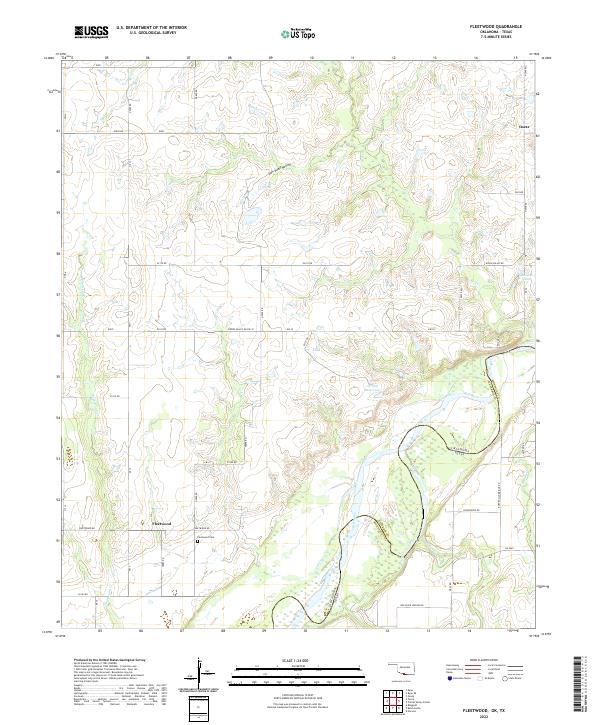
1968 Fleetwood
Jefferson County, OK
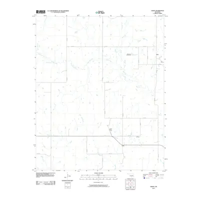
1968 Spanish Fort
Jefferson County, OK
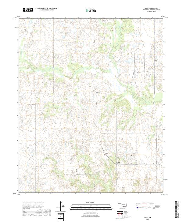
1974 Grady
Jefferson County, OK
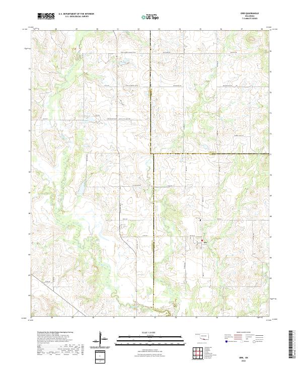
1974 Orr
Jefferson County, OK
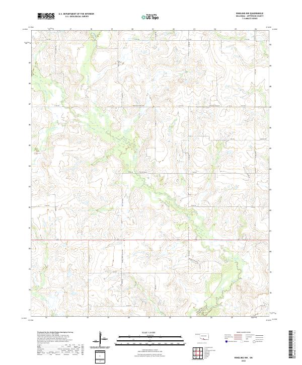
1974 Ringling NW
Jefferson County, OK
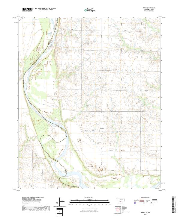
1984 Irving
Jefferson County, OK
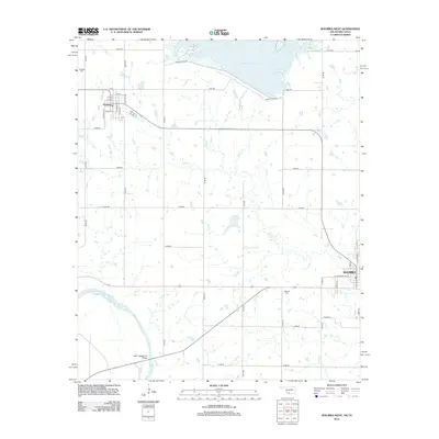
1984 Waurika West
Jefferson County, OK
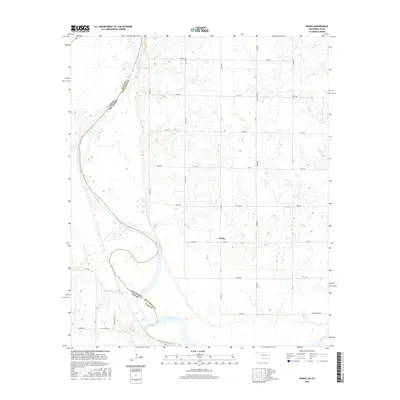
1987 Ryan NE
Jefferson County, OK
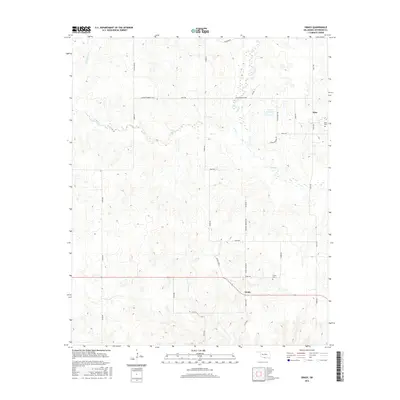
1987 Ryan SE
Jefferson County, OK
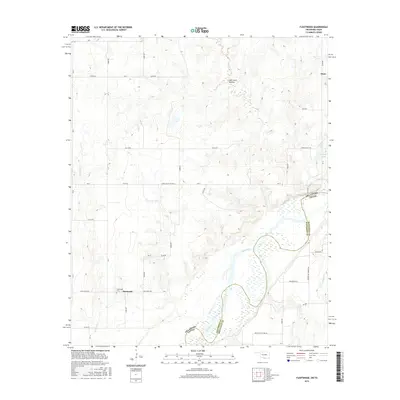
1987 Waurika East
Jefferson County, OK
2009 Orr
Jefferson County, OK
2009 Ringling NW
Jefferson County, OK
2009 Ryan NE
Jefferson County, OK
2009 Waurika East
Jefferson County, OK
2010 Fleetwood
Jefferson County, OK
2010 Grady
Jefferson County, OK
2010 Irving
Jefferson County, OK
2010 Ryan SE
Jefferson County, OK
2010 Waurika West
Jefferson County, OK
2012 Fleetwood
Jefferson County, OK
2012 Grady
Jefferson County, OK
2012 Irving
Jefferson County, OK
2012 Orr
Jefferson County, OK
2012 Ringling NW
Jefferson County, OK
2012 Ryan NE
Jefferson County, OK
2012 Ryan SE
Jefferson County, OK
2012 Waurika East
Jefferson County, OK
2012 Waurika West
Jefferson County, OK
2016 Fleetwood
Jefferson County, OK
2016 Grady
Jefferson County, OK
2016 Irving
Jefferson County, OK
2016 Orr
Jefferson County, OK
2016 Ringling NW
Jefferson County, OK
2016 Ryan NE
Jefferson County, OK
2016 Ryan SE
Jefferson County, OK
2016 Waurika East
Jefferson County, OK
2016 Waurika West
Jefferson County, OK
2018 Grady
Jefferson County, OK
2018 Orr
Jefferson County, OK
2018 Ringling NW
Jefferson County, OK
2018 Ryan NE
Jefferson County, OK
2018 Ryan SE
Jefferson County, OK
2018 Waurika East
Jefferson County, OK
2019 Fleetwood
Jefferson County, OK
2019 Irving
Jefferson County, OK
2019 Waurika West
Jefferson County, OK
2022 Fleetwood
Jefferson County, OK
2022 Grady
Jefferson County, OK
2022 Irving
Jefferson County, OK
2022 Orr
Jefferson County, OK
2022 Ringling NW
Jefferson County, OK
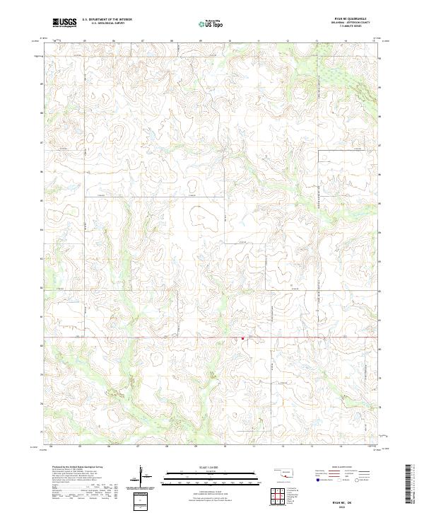
2022 Ryan NE
Jefferson County, OK
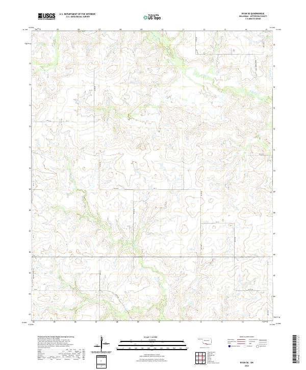
2022 Ryan SE
Jefferson County, OK
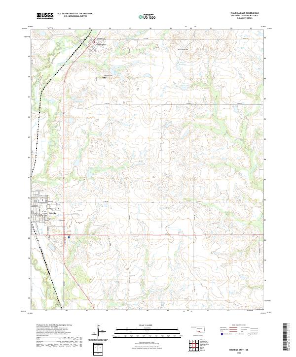
2022 Waurika East
Jefferson County, OK
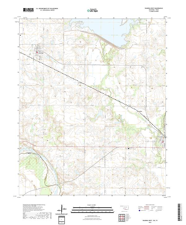
2022 Waurika West
Jefferson County, OK