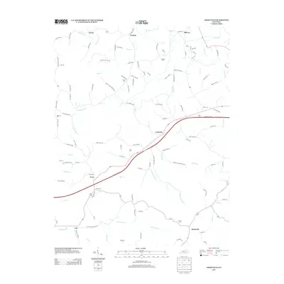
2013 Map of Gradyville
USGS Topo · Published 2013About this map
Gradyville serves as a central hub in this Kentucky landscape, situated where local routes meet the modern Cumberland Pkwy E. The topography is defined by a dense network of watercourses, including the winding Russell Cr to the north and the extensive reach of Leatherwood Cr and Big Cr through the southern half. These valleys host numerous family-named landmarks and rural settlements like Sparksville, Milltown, and Pickett.
Find a feature on this map
116 named features on this map. Tap any name to fly to it.
Don’t see what you’re looking for? This feature index may not catch every label — zoom into the map to look around manually.
Map Details
Editions of this 2013 Gradyville Map
This is the sole edition of this map. No revisions or reprints were ever made.
Other maps of this area
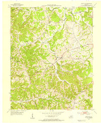
1953 · Gradyville
USGS Topo · 1:24,000
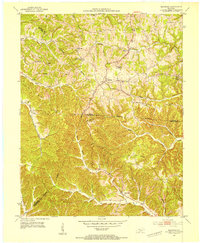
1953 · Breeding
USGS Topo · 1:24,000
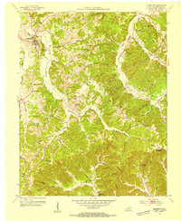
1953 · Edmonton
USGS Topo · 1:24,000
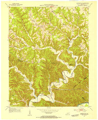
1953 · Amandaville
USGS Topo · 1:24,000

1953 · Exie
USGS Topo · 1:24,000
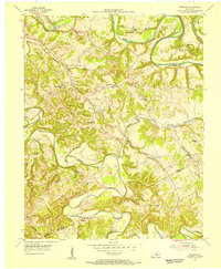
1953 · Gresham
USGS Topo · 1:24,000
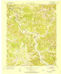
1953 · East Fork
USGS Topo · 1:24,000
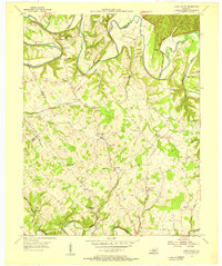
1953 · Cane Valley
USGS Topo · 1:24,000
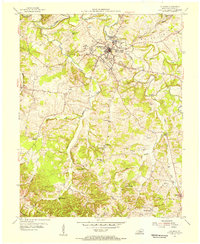
1954 · Columbia
USGS Topo · 1:24,000
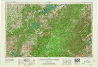
1956 · Corbin
USGS Topo · 1:250,000