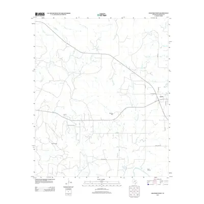
2012 Map of Graford West
USGS Topo · Published 2012About this map
Graford stands at the eastern edge of this Palo Pinto County landscape, where the street grid of W Division Ave and S Vaughn St transitions into a region defined by complex drainage systems and energy production. The Loyd-Dalton Oil Field occupies the central territory, illustrating the local economic reliance on the petroleum industry. The terrain is marked by notable elevations such as McClure Mtn and the open expanse of Rocky Prairie to the southwest.
Find a feature on this map
26 named features on this map. Tap any name to fly to it.
Don’t see what you’re looking for? This feature index may not catch every label — zoom into the map to look around manually.
Map Details
Editions of this 2012 Graford West Map
This is the sole edition of this map. No revisions or reprints were ever made.
Other maps of this area
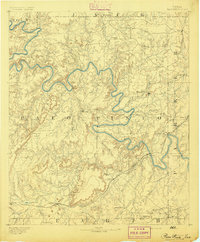
1891 · Palo Pinto
USGS Topo · 1:125,000
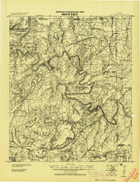
1918 · Palo Pinto
USGS Topo · 1:125,000
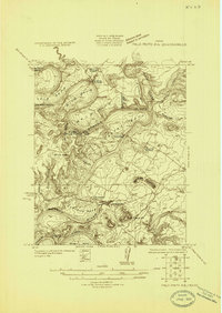
1924 · Palo Pinto 2-b
USGS Topo · 1:48,000
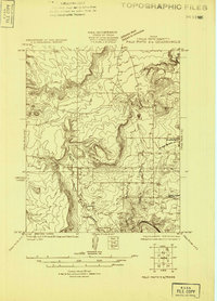
1924 · Palo Pinto 2-a
USGS Topo · 1:48,000
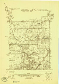
1924 · Palo Pinto 1-b
USGS Topo · 1:48,000
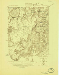
1924 · Palo Pinto 2-c
USGS Topo · 1:48,000
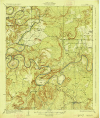
1927 · Pickwick
USGS Topo · 1:62,500
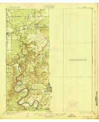
1927 · Mineral Wells
USGS Topo · 1:62,500
1954 · Abilene
USGS Topo · 1:250,000
1954 · Wichita Falls
USGS Topo · 1:250,000