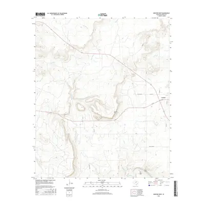
2016 Map of Graford West
USGS Topo · Published 2016About this map
The Brazos River meanders through the southern portion of this landscape, carving dramatic features such as B C Harris Bend and Fortune Bend. This terrain is characterized by significant elevation changes, most notably at McClure Mtn and within Scott Canyon. The town of Graford sits on the eastern edge of the survey, where a residential street grid including W Lee Ave and Division St meets the rural surroundings.
Find a feature on this map
28 named features on this map. Tap any name to fly to it.
Don’t see what you’re looking for? This feature index may not catch every label — zoom into the map to look around manually.
Map Details
Editions of this 2016 Graford West Map
This is the sole edition of this map. No revisions or reprints were ever made.
Other maps of this area
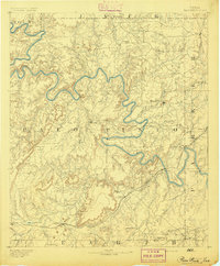
1891 · Palo Pinto
USGS Topo · 1:125,000
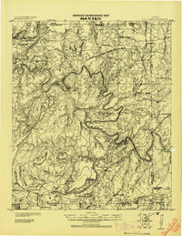
1918 · Palo Pinto
USGS Topo · 1:125,000
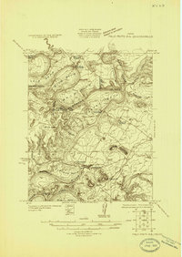
1924 · Palo Pinto 2-b
USGS Topo · 1:48,000
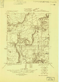
1924 · Palo Pinto 2-a
USGS Topo · 1:48,000
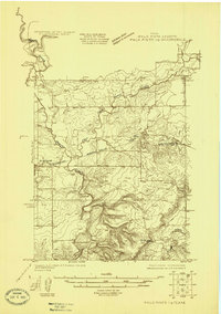
1924 · Palo Pinto 1-b
USGS Topo · 1:48,000
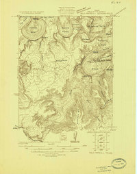
1924 · Palo Pinto 2-c
USGS Topo · 1:48,000
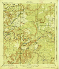
1927 · Pickwick
USGS Topo · 1:62,500
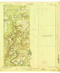
1927 · Mineral Wells
USGS Topo · 1:62,500
1954 · Abilene
USGS Topo · 1:250,000
1954 · Wichita Falls
USGS Topo · 1:250,000