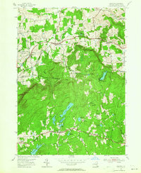
1954 Map of Grafton
USGS Topo · Published 1964About this map
The town of Grafton and its surrounding countryside in Rensselaer County are characterized by a dense concentration of small glacial lakes and a landscape transitioning into managed forestry during the mid-1950s. The State Reforestation Area covers a significant portion of the central terrain, punctuated by high points like Dickinson Hill, which features a Lookout Tower. This topography influenced a dispersed settlement pattern, with small villages such as Boyntonville and Potter Hill following the winding valley roads.
Find a feature on this map
47 named features on this map. Tap any name to fly to it.
Don’t see what you’re looking for? This feature index may not catch every label — zoom into the map to look around manually.
Map Details
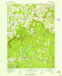
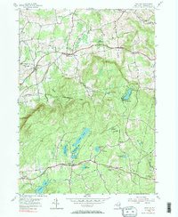
Editions of this 1954 Grafton Map
3 editions found
Other maps of this area

1888 · Berlin
USGS Topo · 1:62,500

1890 · Berlin
USGS Topo · 1:62,500

1893 · Cohoes
USGS Topo · 1:62,500

1893 · Troy
USGS Topo · 1:62,500

1894 · Berlin
USGS Topo · 1:62,500

1895 · Troy
USGS Topo · 1:62,500

1895 · Cohoes
USGS Topo · 1:62,500

1897 · Hoosick
USGS Topo · 1:62,500

1898 · Berlin
USGS Topo · 1:62,500

1898 · Cohoes
USGS Topo · 1:62,500