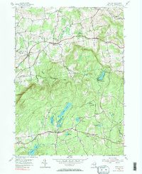
1954 Map of Grafton
USGS Topo · Published 1983About this map
The town of Grafton and its surrounding hill country in Rensselaer County appear here as they were surveyed in the early 1940s and updated through 1954. This upland region is defined by a heavy concentration of glacial lakes and ponds, including Long Pond, Shaver Pond, and the resort-oriented Babcock Lake. The landscape reflects a transition toward preservation and recreation, marked by the extensive State Reforestation Area and the presence of Camp Yowochas.
Find a feature on this map
43 named features on this map. Tap any name to fly to it.
Don’t see what you’re looking for? This feature index may not catch every label — zoom into the map to look around manually.
Map Details
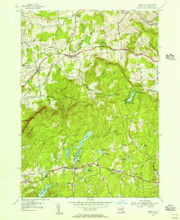
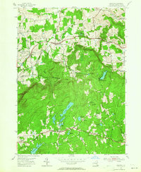
Editions of this 1954 Grafton Map
3 editions found
Other maps of this area

1888 · Berlin
USGS Topo · 1:62,500

1890 · Berlin
USGS Topo · 1:62,500

1893 · Cohoes
USGS Topo · 1:62,500

1893 · Troy
USGS Topo · 1:62,500

1894 · Berlin
USGS Topo · 1:62,500

1895 · Troy
USGS Topo · 1:62,500

1895 · Cohoes
USGS Topo · 1:62,500

1897 · Hoosick
USGS Topo · 1:62,500

1898 · Berlin
USGS Topo · 1:62,500

1898 · Cohoes
USGS Topo · 1:62,500