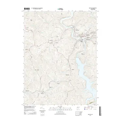
2014 Map of Grafton
USGS Topo · Published 2014About this map
Grafton serves as a major regional hub where the Tygart Valley River meets a significant rail corridor. The town's layout is defined by its industrial and civic history, featuring numerous crossings such as the John F. Bennett Bridge and Bridge Street Bridge. The area is notably dense with commemorative sites, including the W Virginia National Cem and Southside National Cem, reflecting its importance in regional history and veteran remembrance.
Find a feature on this map
97 named features on this map. Tap any name to fly to it.
Don’t see what you’re looking for? This feature index may not catch every label — zoom into the map to look around manually.
Map Details
Editions of this 2014 Grafton Map
This is the sole edition of this map. No revisions or reprints were ever made.
Other maps of this area

1886 · St. George
USGS Topo · 1:125,000

1891 · St. George
USGS Topo · 1:125,000

1902 · Fairmont
USGS Topo · 1:62,500

1904 · Philippi
USGS Topo · 1:62,500

1907 · Thornton
USGS Topo · 1:62,500

1907 · Belington
USGS Topo · 1:62,500

1923 · Fairmont
USGS Topo · 1:62,500

1925 · Philippi
USGS Topo · 1:62,500

1926 · Fairmont
USGS Topo · 1:62,500

1926 · Thornton
USGS Topo · 1:62,500