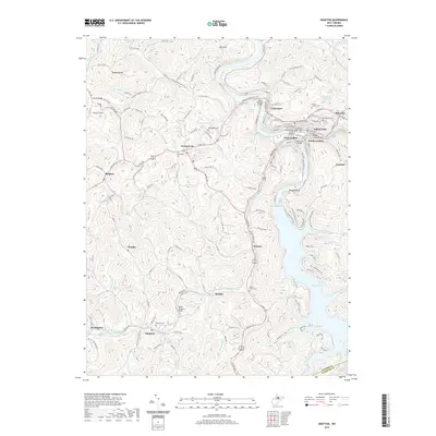
2019 Map of Grafton
USGS Topo · Published 2019About this map
Grafton serves as the focal point of this survey, illustrating the dense street grid and industrial infrastructure where the Tygart Valley River bends sharply. The map records a complex landscape of early 21st-century West Virginia, showcasing the development of satellite communities like West Grafton, South Grafton, and Fetterman. Beyond the urban core, the terrain is defined by high ridges such as Curry Ridge and numerous narrow drainages including Wickwire Run and Jack Run. A significant portion of the sheet is dedicated to the northern reaches of Tygart Lake, surrounded by a network of recreational paths including the Woodland Trail and Lake Trail. Local history is preserved through numerous small burial grounds like Woodsdale Cem and Smith Cem, while the industrial presence is marked by the North Simpson Girder and the proximity of the American Discovery Trail crossing through the hills.
Find a feature on this map
74 named features on this map. Tap any name to fly to it.
Don’t see what you’re looking for? This feature index may not catch every label — zoom into the map to look around manually.
Map Details
Editions of this 2019 Grafton Map
This is the sole edition of this map. No revisions or reprints were ever made.
Other maps of this area

1886 · St. George
USGS Topo · 1:125,000

1891 · St. George
USGS Topo · 1:125,000

1902 · Fairmont
USGS Topo · 1:62,500

1904 · Philippi
USGS Topo · 1:62,500

1907 · Thornton
USGS Topo · 1:62,500

1907 · Belington
USGS Topo · 1:62,500

1923 · Fairmont
USGS Topo · 1:62,500

1925 · Philippi
USGS Topo · 1:62,500

1926 · Fairmont
USGS Topo · 1:62,500

1926 · Thornton
USGS Topo · 1:62,500