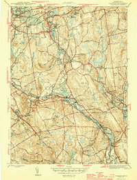
1944 Map of Grafton
USGS Topo · Published 1944About this map
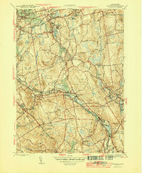
The Blackstone River serves as the industrial and geographical spine of this 1944 Massachusetts landscape, flowing through a string of mill villages including Fisherville, Saundersville, and Farnumsville. This World War II-era survey by the U.S. Geological Survey reveals the intricate balance between early 20th-century industry and rural New England life. The river's path is marked by infrastructure like the Fisherville Pond and Rockdale Pond, while the surrounding hills are dotted with family-named landmarks such as Brigham Hill, Keith Hill, and George Hill.
Find a feature on this map
84 named features on this map. Tap any name to fly to it.
Don’t see what you’re looking for? This feature index may not catch every label — zoom into the map to look around manually.
Map Details
Editions of this 1944 Grafton Map
5 editions found
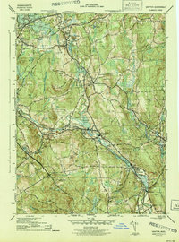
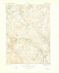
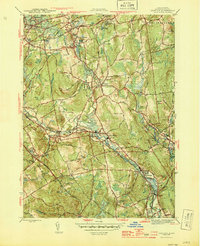
Other maps of this area

1885 · Worcester
USGS Topo · 1:62,500

1886 · Worcester
USGS Topo · 1:62,500

1886 · Blackstone
USGS Topo · 1:62,500

1887 · Marlboro
USGS Topo · 1:62,500

1889 · Marlboro
USGS Topo · 1:62,500

1889 · Blackstone
USGS Topo · 1:62,500

1889 · Webster
USGS Topo · 1:62,500

1892 · Webster
USGS Topo · 1:62,500

1892 · Worcester
USGS Topo · 1:62,500

1893 · Blackstone
USGS Topo · 1:62,500