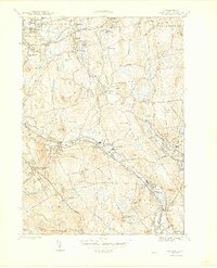
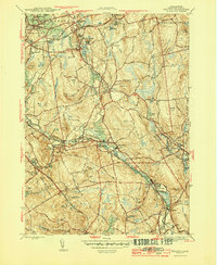
1944 Map of Grafton
USGS Topo · Published 1944About this map
Grafton and its surrounding mill villages define this landscape during the mid-1940s, situated at the intersection of the Blackstone River and Quinsigamond River valleys. The area shows a mature industrial and social fabric, with settlements like Fisherville, Saundersville, and Farnumsville established along the water power of the Blackstone. Near the northern edge, the expansive grounds of the Grafton State Hospital and the Grafton Airport mark significant institutional and infrastructure developments of the era.
Find a feature on this map
80 named features on this map. Tap any name to fly to it.
Don’t see what you’re looking for? This feature index may not catch every label — zoom into the map to look around manually.
Map Details
Editions of this 1944 Grafton Map
5 editions found
Other maps of this area

1885 · Worcester
USGS Topo · 1:62,500

1886 · Worcester
USGS Topo · 1:62,500

1886 · Blackstone
USGS Topo · 1:62,500

1887 · Marlboro
USGS Topo · 1:62,500

1889 · Marlboro
USGS Topo · 1:62,500

1889 · Blackstone
USGS Topo · 1:62,500

1889 · Webster
USGS Topo · 1:62,500

1892 · Webster
USGS Topo · 1:62,500

1892 · Worcester
USGS Topo · 1:62,500

1893 · Blackstone
USGS Topo · 1:62,500