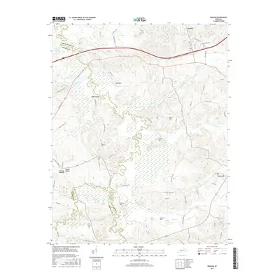
2016 Map of Graham
USGS Topo · Published 2016About this map
Pond River snakes through the heart of this landscape, marking the historic boundary between Muhlenberg, Hopkins, and Christian counties. This 2016 survey documents the rural character of western Kentucky, where small settlements like White Plains and Bakersport are connected by a network of local routes such as Greenville Rd and Mount Carmel Rd. The topography is defined by distinct elevations including Turkey Hill, Stivers Hill, and the Atkinson Hills, which rise above the river's winding floodplain and its tributaries like West Fork Pond River and Jarrels Cr.
Find a feature on this map
64 named features on this map. Tap any name to fly to it.
Don’t see what you’re looking for? This feature index may not catch every label — zoom into the map to look around manually.
Map Details
Editions of this 2016 Graham Map
This is the sole edition of this map. No revisions or reprints were ever made.
Other maps of this area

1909 · Madisonville
USGS Topo · 1:62,500

1909 · Central City
USGS Topo · 1:62,500

1911 · Drakesboro
USGS Topo · 1:48,000

1912 · Nortonville
USGS Topo · 1:62,500

1913 · Drakesboro
USGS Topo · 1:62,500

1952 · Greenville
USGS Topo · 1:24,000

1952 · Crofton
USGS Topo · 1:24,000

1953 · Haleys Mill
USGS Topo · 1:24,000

1953 · Nortonville
USGS Topo · 1:24,000

1953 · Madisonville East
USGS Topo · 1:24,000