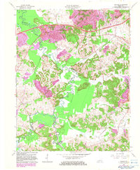
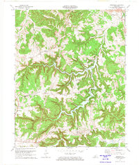
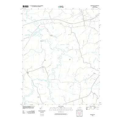
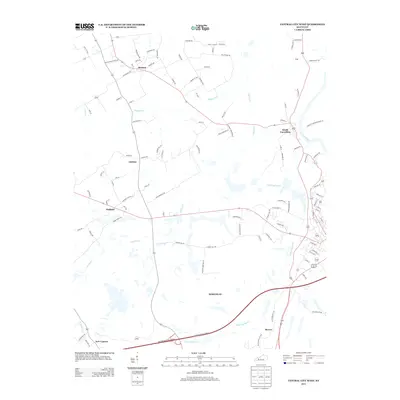
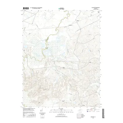
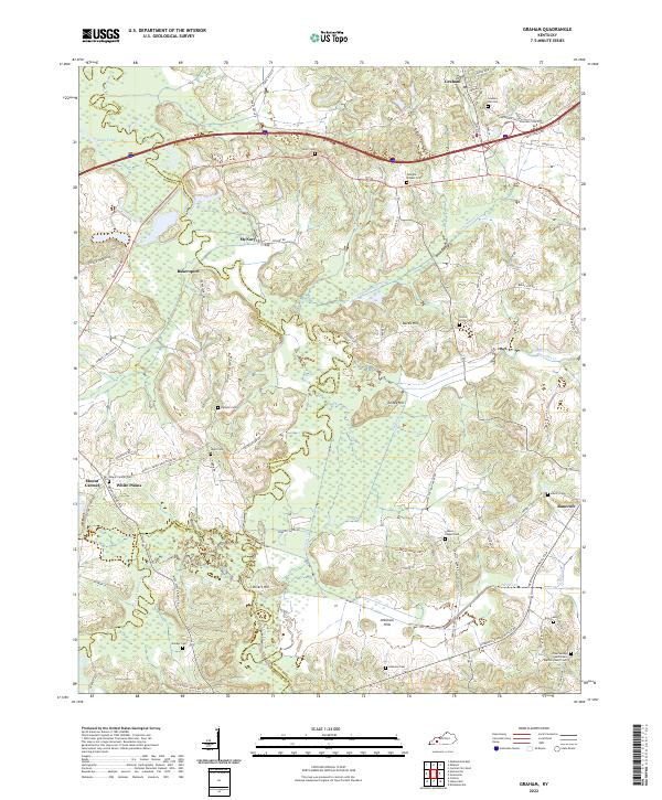
1963 Map of Graham
USGS Topo · Published 1983About this map
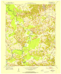
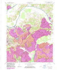
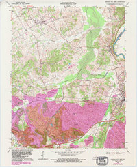
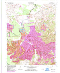
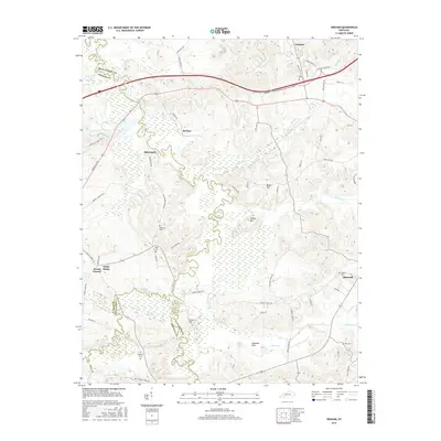
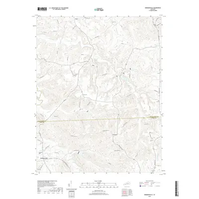
The Pond River and its meandering tributaries, including Elk Pond Creek and Thompson Creek, dominate this landscape at the intersection of Muhlenberg, Hopkins, and Christian counties. The 1982 photorevision reveals a region shaped by industrial transition, where early 20th-century settlements like McNary and Bakersport sit near the extensive Strip Mines that characterize the northern terrain. The introduction of the Western Kentucky Parkway and the Kentucky Toll Road reflects the mid-century modernization of transport, cutting across the traditional rail corridor of the Illinois Central Gulf. Small rural communities remain anchored by historic congregations such as Yeargins Chapel, Mt Carmel Ch, and Givens Chapel. From the lowlands of Turkey Hill to the various Oil Wells scattered across the southern reaches, the map detail provides a clear view of the shifting economic reliance from agriculture and river-valley life to resource extraction and high-speed highway travel.
Find a feature on this map
27 named features on this map. Tap any name to fly to it.
Don’t see what you’re looking for? This feature index may not catch every label — zoom into the map to look around manually.
Map Details
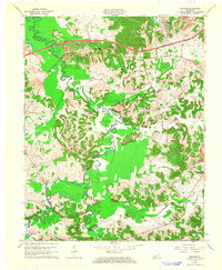
Editions of this 1963 Graham Map
2 editions found
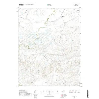
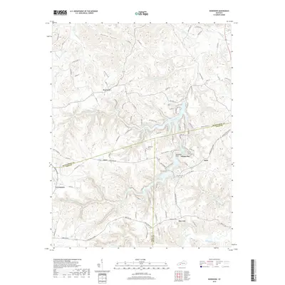
Historical Maps of White Plains Through Time
44 maps found
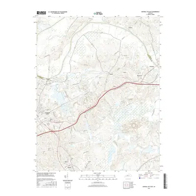
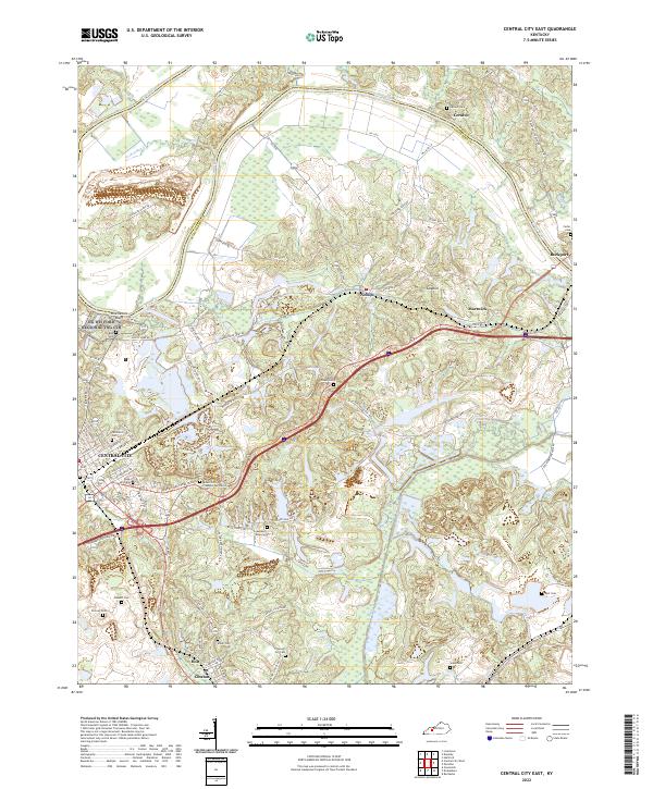
1953 Central City East
Muhlenberg County, KY
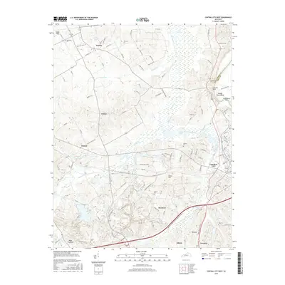
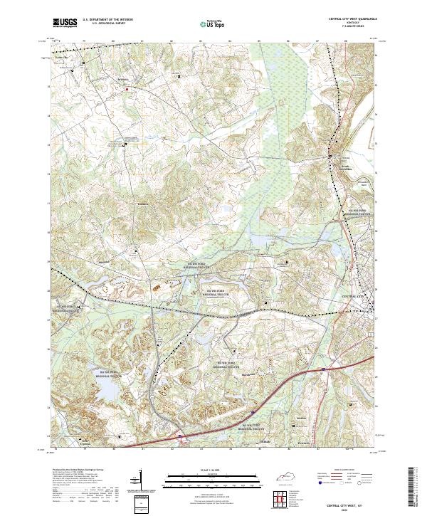
1953 Central City West
Muhlenberg County, KY
1953 Graham
Muhlenberg County, KY
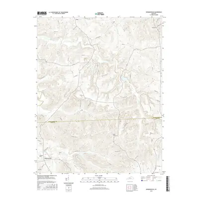
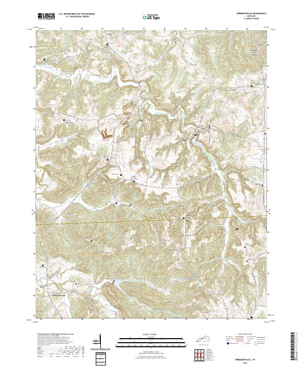
1953 Kirkmansville
Muhlenberg County, KY
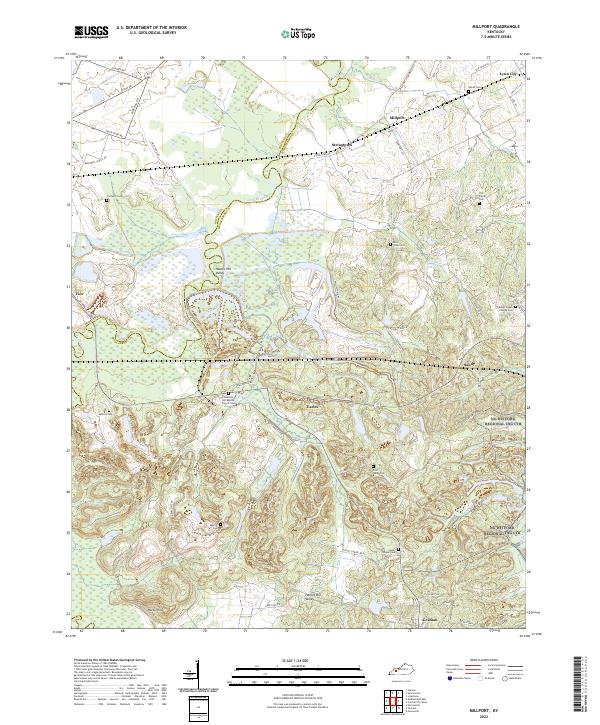
1953 Millport
Muhlenberg County, KY
1953 Rosewood
Muhlenberg County, KY
1963 Central City East
Muhlenberg County, KY
1963 Central City West
Muhlenberg County, KY
1963 Graham
Muhlenberg County, KY
1963 Millport
Muhlenberg County, KY
1972 Kirkmansville
Muhlenberg County, KY
1972 Rosewood
Muhlenberg County, KY
1997 Central City East
Muhlenberg County, KY
1997 Central City West
Muhlenberg County, KY

2010 Central City East
Muhlenberg County, KY
2010 Central City West
Muhlenberg County, KY
2010 Graham
Muhlenberg County, KY
2010 Kirkmansville
Muhlenberg County, KY
2010 Millport
Muhlenberg County, KY
2010 Rosewood
Muhlenberg County, KY

2013 Central City East
Muhlenberg County, KY
2013 Central City West
Muhlenberg County, KY
2013 Graham
Muhlenberg County, KY
2013 Kirkmansville
Muhlenberg County, KY

2013 Millport
Muhlenberg County, KY
2013 Rosewood
Muhlenberg County, KY
2016 Central City East
Muhlenberg County, KY
2016 Central City West
Muhlenberg County, KY
2016 Graham
Muhlenberg County, KY
2016 Kirkmansville
Muhlenberg County, KY
2016 Millport
Muhlenberg County, KY
2016 Rosewood
Muhlenberg County, KY

2019 Central City East
Muhlenberg County, KY
2019 Central City West
Muhlenberg County, KY
2019 Graham
Muhlenberg County, KY
2019 Kirkmansville
Muhlenberg County, KY
2019 Millport
Muhlenberg County, KY
2019 Rosewood
Muhlenberg County, KY
2022 Central City East
Muhlenberg County, KY
2022 Central City West
Muhlenberg County, KY
2022 Graham
Muhlenberg County, KY
2022 Kirkmansville
Muhlenberg County, KY
2022 Millport
Muhlenberg County, KY
2022 Rosewood
Muhlenberg County, KY