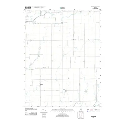
2010 Map of Grammer
USGS Topo · Published 2010About this map
Sardinia and Grammer anchor this agricultural region of Southeast Indiana, where the landscape is defined by the drainage networks of Clifty Creek, Fall Fork, and Bear Creek. The map documents a classic Midwestern survey pattern of rectilinear roads such as Base Rd E, punctuated by small clusters of settlement like Alert and Burnsville. For genealogists, the map is particularly useful for locating family burial grounds, including the Parkison Cemetery, Shirk Cemetery, and Mount Pisgah Cemetery, often situated on slightly elevated ground near the creeks. The presence of Little Sand Creek, Rattail Creek, and Poplar Root Creek illustrates the intricate watershed system feeding the larger river valleys beyond these boundaries. The transition from the more developed northern corridor near Newbern and Waynesburg to the southern reaches shows how local topography influenced the placement of community centers and rural churches.
Find a feature on this map
68 named features on this map. Tap any name to fly to it.
Don’t see what you’re looking for? This feature index may not catch every label — zoom into the map to look around manually.
Map Details
Editions of this 2010 Grammer Map
This is the sole edition of this map. No revisions or reprints were ever made.
Other maps of this area

1942 · Columbus
USGS Topo · 1:125,000

1947 · Hope
USGS Topo · 1:24,000

1948 · Hope
USGS Topo · 1:24,000

1950 · Edinburg
USGS Topo · 1:62,500

1953 · Cincinnati
USGS Topo · 1:250,000

1957 · Cincinnati
USGS Topo · 1:250,000

1957 · Butlerville
USGS Topo · 1:24,000

1957 · Azalia
USGS Topo · 1:24,000

1957 · North Vernon
USGS Topo · 1:24,000

1958 · Westport
USGS Topo · 1:24,000