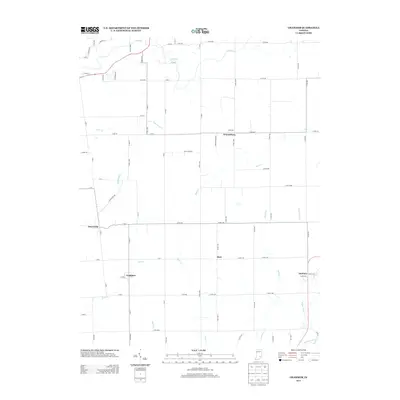
2013 Map of Grammer
USGS Topo · Published 2013About this map
Grammer and Sardinia anchor the southern reaches of this agricultural landscape in Decatur and Bartholomew Counties. The terrain is defined by a dense network of watercourses, including Clifty Cr and Fall Fork in the north, which give way to Bear Cr and Rock Cr as they flow through the central plains. Smaller clusters such as Burnsville, Waynesburg, and Alert are connected by a rigorous grid of section-line roads, illustrating the systematic rural development of south-central Indiana. The presence of Poplar Root Cr and Wyaloosing Cr in the southeast corner marks the transition toward the deeper drainage basins of the region. This topography shows a landscape where small-town life remains centered on these historical crossings and local creek systems.
Find a feature on this map
72 named features on this map. Tap any name to fly to it.
Don’t see what you’re looking for? This feature index may not catch every label — zoom into the map to look around manually.
Map Details
Editions of this 2013 Grammer Map
This is the sole edition of this map. No revisions or reprints were ever made.
Other maps of this area

1942 · Columbus
USGS Topo · 1:125,000

1947 · Hope
USGS Topo · 1:24,000

1948 · Hope
USGS Topo · 1:24,000

1950 · Edinburg
USGS Topo · 1:62,500

1953 · Cincinnati
USGS Topo · 1:250,000

1957 · Cincinnati
USGS Topo · 1:250,000

1957 · Butlerville
USGS Topo · 1:24,000

1957 · Azalia
USGS Topo · 1:24,000

1957 · North Vernon
USGS Topo · 1:24,000

1958 · Westport
USGS Topo · 1:24,000