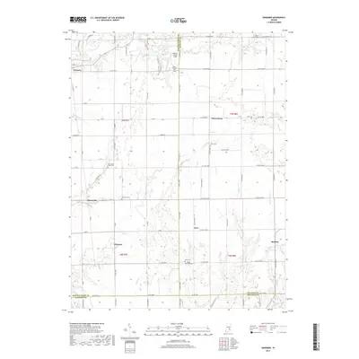
2019 Map of Grammer
USGS Topo · Published 2019About this map
Grammer and Sardinia anchor this rural landscape where the borders of Bartholomew, Decatur, and Jennings Counties meet. The terrain is defined by a dense network of small waterways including Clifty Creek, Bear Cr, and Rattail Cr, which carve through the agricultural tablelands. The map reveals a pattern of dispersed settlements and family heritage markers, with numerous small burial grounds such as Parkison Cem and Mount Olivet Cem situated near the crossroads. Modern land use is evident at Williams Flying Field and along the Loop Hiking Trail, illustrating how the region maintains a balance between traditional farming and recreational space. The grid of county roads, including Base Rd E and E Co Rd 200 N, provides a clear view of the township and range survey system that still dictates the local geography.
Find a feature on this map
67 named features on this map. Tap any name to fly to it.
Don’t see what you’re looking for? This feature index may not catch every label — zoom into the map to look around manually.
Map Details
Editions of this 2019 Grammer Map
This is the sole edition of this map. No revisions or reprints were ever made.
Other maps of this area

1942 · Columbus
USGS Topo · 1:125,000

1947 · Hope
USGS Topo · 1:24,000

1948 · Hope
USGS Topo · 1:24,000

1950 · Edinburg
USGS Topo · 1:62,500

1953 · Cincinnati
USGS Topo · 1:250,000

1957 · Cincinnati
USGS Topo · 1:250,000

1957 · Butlerville
USGS Topo · 1:24,000

1957 · Azalia
USGS Topo · 1:24,000

1957 · North Vernon
USGS Topo · 1:24,000

1958 · Westport
USGS Topo · 1:24,000