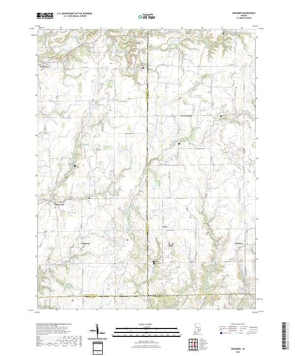
2022 Map of Grammer
USGS Topo · Published 2022About this map
Grammer and the surrounding agricultural landscapes of Indiana are defined by a network of creeks and small settlements situated at the intersection of Bartholomew, Decatur, and Jennings counties. This 2022 survey documents a countryside where traditional family landmarks remain central to the geography, including Mount Pleasant Cem, Little Sand Creek Cem, and Parkison Cem. The terrain is drained by several small watercourses such as Fall Fork, Little Sand Cr, and Rattail Cr, which cut through the level farm plots typical of the region. Local aviation history is noted at Williams Flying Field in the north, while conservation efforts are represented by the Falls Nature Preserve near the town of Newbern. These scattered hamlets, from Alert to Sardinia, maintain a layout grounded in the historic Public Land Survey System, with roads following section lines across the townships of t9n r7e and t8n r8e.
Find a feature on this map
89 named features on this map. Tap any name to fly to it.
Don’t see what you’re looking for? This feature index may not catch every label — zoom into the map to look around manually.
Map Details
Editions of this 2022 Grammer Map
This is the sole edition of this map. No revisions or reprints were ever made.
Other maps of this area

1942 · Columbus
USGS Topo · 1:125,000

1947 · Hope
USGS Topo · 1:24,000

1948 · Hope
USGS Topo · 1:24,000

1950 · Edinburg
USGS Topo · 1:62,500

1953 · Cincinnati
USGS Topo · 1:250,000

1957 · Cincinnati
USGS Topo · 1:250,000

1957 · Butlerville
USGS Topo · 1:24,000

1957 · Azalia
USGS Topo · 1:24,000

1957 · North Vernon
USGS Topo · 1:24,000

1958 · Westport
USGS Topo · 1:24,000