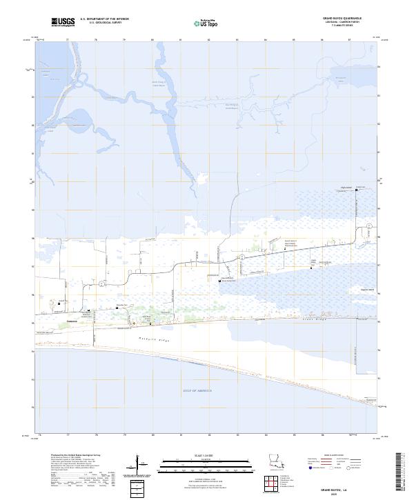
2025 Map of Grand Bayou
USGS Topo · Published 2025About this map
Cameron and its surrounding wetlands occupy a unique position where the Gulf Of America meets the intricate hydrology of the Louisiana coast. The landscape is defined by its transition from open water to marsh, bifurcated by the winding South Prong of Grand Bayou and structured by the Creole Canal. Historically significant ridges such as Mesquite Ridge and Front Ridge provide the only stable ground for local infrastructure and a dense network of family and community landmarks. Genealogists will find this sheet particularly valuable for its detailed location of several cemeteries, including Peshoff Cem, Ebenezer Cem, and the Sacred Heart of Jesus Catholic Church and Cem. The map illustrates a community shaped by the water, where roads like Broussard Beach Rd and Rutherford Beach Rd terminate at the sea, and settlement patterns follow the natural elevation of the coastal cheniers.
Find a feature on this map
53 named features on this map. Tap any name to fly to it.
Don’t see what you’re looking for? This feature index may not catch every label — zoom into the map to look around manually.
Map Details
Editions of this 2025 Grand Bayou Map
This is the sole edition of this map. No revisions or reprints were ever made.
Other maps of this area

1934 · Cameron
USGS Topo · 1:24,000

1934 · Sweet Lake
USGS Topo · 1:24,000

1934 · Grand Bayou
USGS Topo · 1:24,000

1934 · Boudreaux Lake
USGS Topo · 1:24,000

1935 · Cameron
USGS Topo · 1:31,680

1935 · Sweet Lake
USGS Topo · 1:31,680

1935 · Hackberry
USGS Topo · 1:31,680

1935 · Boudreaux Lake
USGS Topo · 1:31,680

1935 · Grand Bayou
USGS Topo · 1:31,680

1935 · Bay Labauve
USGS Topo · 1:31,680